Manaslu Circuit Trek 2026: The Quiet Alternative to Annapurna
Complete guide: Annapurna Region Treks: Complete Guide
What is the Manaslu Circuit trek? The Manaslu Circuit is a teahouse trek around Mount Manaslu (8,163 m), the world’s eighth-highest peak, ending at the Larkya La pass (5,106 m). It runs roughly 177 km through the Budhi Gandaki valley, from subtropical river gorge to Tibetan-border high country and back over the pass into the Annapurna region. It is a restricted area, so it sees a fraction of the Annapurna Circuit’s crowds while delivering comparable Himalayan drama. This is the 2026 region hub: the route, the pass, permits, costs, season and difficulty in one place, with links to our specialist guides for every deep dive.
Why choose Manaslu over Annapurna?
Every year trekkers who first planned the Annapurna Circuit end up on Manaslu, and the reasons are consistent:
- Fewer trekkers: restricted-area permits cap the numbers. Even in peak October you will share lodge dining rooms with a handful of guests rather than the crowds of the Annapurna trails, and in spring the circuit can feel almost private.
- A road-free trail: unlike sections of the Annapurna Circuit, the main Manaslu route above Machha Khola has no road. What you walk is what there is.
- Genuine cultural depth: the upper valley is culturally Tibetan. Chortens, mani walls and gompas line the trail, and villages like Lho and Samagaon still farm and trade much as they have for centuries.
- The complete altitude journey: in about ten walking days you climb from 700 m river gorge to a 5,106 m pass, one of the greatest altitude ranges of any teahouse trek in Nepal.
- The optional Tsum Valley: a sacred, monastic side valley that adds roughly six days for those with time; see our coverage in the trekking grades and difficulty guide.
The trade-offs are real too: logistics are tighter because of the restricted-area rules, teahouses are simpler than Annapurna’s best, and the circuit ends with a long drive back to Kathmandu from Besi Sahar rather than a neat loop. For a head-to-head comparison, see our piece on comparing Manaslu, Everest and Annapurna.
Route and duration
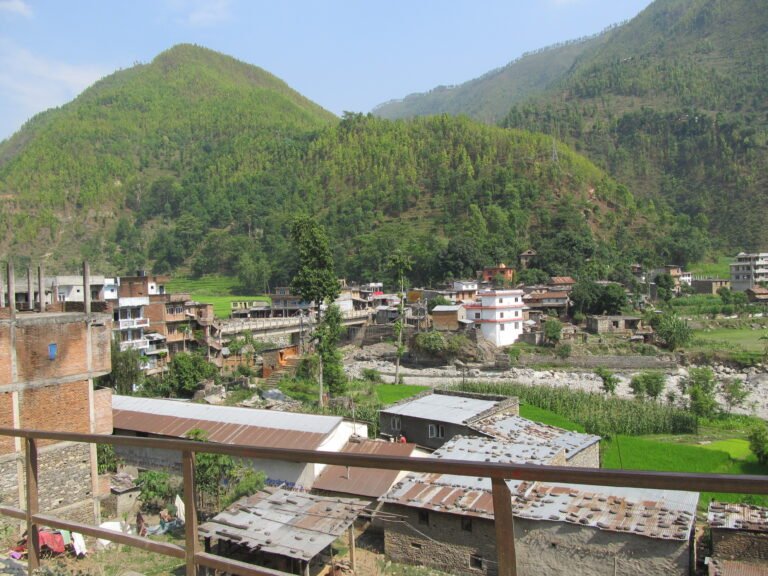
Trekkers drive from Kathmandu to Machha Khola (roughly 7-8 hours on the road, with the section beyond Arughat now in fair condition), then walk upstream through the checkpoint at Jagat, the warm gorge villages of Deng and Namrung, up to Samagaon (3,530 m) below Manaslu’s north face, across the Larkya La to Bhimtang, and down to Dharapani on the Annapurna Circuit. Standard plans run 12-15 days including drive days and an acclimatisation day.
| Plan | Days | High point |
|---|---|---|
| Standard circuit | 13-15 | Larkya La 5,106 m |
| + Tsum Valley side trip | +5 to +7 | Mu Gompa around 3,700 m |
The route day by day, in brief
- Day 1: Drive Kathmandu to Machha Khola (900 m). Long day on the Prithvi Highway and rough gorge road.
- Day 2: Machha Khola to Jagat (1,340 m). First permit checkpoint, suspension bridges, hot springs at Tatopani en route.
- Day 3: Jagat to Deng (2,040 m). The gorge narrows; Tibetan influence begins in the architecture.
- Day 4: Deng to Namrung (2,630 m). Crossing into Nubri; first clear views of Manaslu behind.
- Day 5: Namrung to Lho (3,180 m), with its dramatic gompa and Manaslu views, or on to Shyala.
- Day 6: Lho to Samagaon (3,530 m). The valley opens into high pasture; Pungyen Gompa side trip possible.
- Day 7: Acclimatisation day at Samagaon: Birendra Lake, Pungyen viewpoint, or ridge hikes toward Base Camp.
- Day 8: Samagaon to Samdo (3,870 m), the last village, a Tibetan refugee settlement near the border.
- Day 9: Acclimatisation or short day to Dharmasala (4,460 m), the bare launch pad for the pass.
- Day 10: Cross Larkya La (5,106 m) in the early morning and descend long to Bhimtang (3,720 m).
- Day 11: Bhimtang to Tilje (2,300 m), leaving the restricted zone and entering the Annapurna region.
- Day 12: Tilje to Dharapani and onward jeep to Besi Sahar; overnight or drive on.
- Day 13: Drive Besi Sahar to Kathmandu or continue to Pokhara.
Agencies compress this to 12 days or stretch it to 15 with extra acclimatisation; the outline above is the shape, not a contract. For the full trail log, our October 2025 conditions update includes current trail notes.
Larkya La: the crux of the circuit
The Larkya La (5,106 m) is the emotional and physical high point of the trek, and the day you will remember longest. The crossing is done in one long day from Dharmasala: a pre-dawn start by headtorch, moraine and snow slopes climbed in cold shadow, a prayer-flagged summit with a sweeping panorama of Manaslu, Himlung, Cheo and the Annapurna II range, then a 1,400 m knee-testing descent to the meadows of Bhimtang. Most crossings take 8-10 hours door to door, and the pass is only attempted in stable weather. Snowfall can close it for days at any point from late October through April, which is why buffer days are built into every sensible itinerary, and why the crossing is never a solo decision: your guide reads the snow, the group moves together, and teahouses coordinate summit-day timing so that teams are spaced but never alone.
2026 permits and rules: the solo-trekking change
The biggest news for 2026 is that Nepal has opened restricted-area treks to solo travellers. The two-person minimum that shaped Manaslu planning for years has been dropped for Manaslu, Upper Mustang and Dolpo from the 2026 season, and a guide is no longer legally mandatory on the Manaslu route itself, though one remains strongly recommended for safety, navigation and altitude decisions. We cover the policy change in detail in our breaking guide to the new solo-trekking rules.
What has not changed is the paperwork. Manaslu remains a restricted area, and permits are still issued only through a registered trekking agency; you cannot buy them yourself at the checkpoint. Three permits apply:
- Restricted Area Permit (RAP): USD 100 for the first 7 days in peak season (September to November), then USD 15 per extra day; USD 75 for the first 7 days in the rest of the year, then USD 10 per extra day. The clock counts days inside the restricted zone, Jagat to Bhimtang, and most trekkers need 10-12 days’ worth.
- Manaslu Conservation Area Permit (MCAP): about NPR 4,000 (roughly USD 30), same price year-round.
- Annapurna Conservation Area Permit (ACAP): about NPR 3,000 (roughly USD 30), required because you exit through the Annapurna region at Dharapani.
Counting rules, extensions, the TIMS card and the paperwork sequence are covered step by step in our specialist Manaslu trek permits guide, which is updated as fees change.
What the trek costs in 2026
| Cost item | Typical 2026 range (USD) |
|---|---|
| Restricted Area Permit (peak, 12-13 days in zone) | 145-160 |
| MCAP + ACAP | 55-60 |
| Licensed guide (12-14 days) | 250-420 |
| Guide’s permits, food and lodging | 100-180 |
| Teahouse lodging and meals (yours) | 25-35 per day, 300-450 total |
| Kathmandu transport in and out | 35-60 by shared jeep, more private |
| Travel insurance with helicopter rescue | 80-150 |
| Typical total, organised trek | 1,100-1,600 |
Solo trekkers now pay the full individual permit rate rather than splitting group costs, which nudges budgets toward the upper end. Prices in the upper valley have risen in recent seasons as teahouses improve; the figures above reflect 2026 quotes from Gorkha-based agencies and should be treated as planning numbers, not contracts.
Best season for the Manaslu Circuit
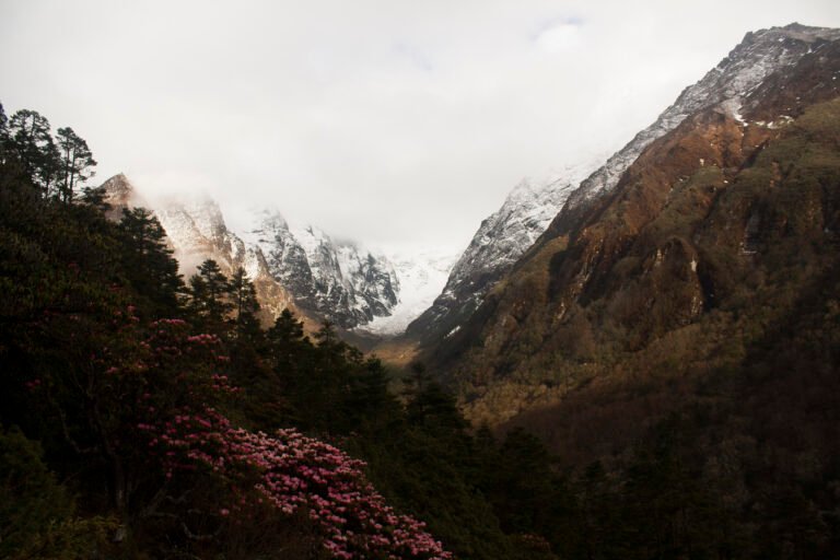
October-November is the classic window: stable, dry, and the pass at its most reliable, with autumn colours in the upper valley. March-May is the quieter prime window, with about half of autumn’s traffic, warmer valley days, and rhododendrons below 3,000 m, at the cost of some pre-monsoon haze later in May. June to September is monsoon: the lower gorge is wet, leechy and landslide-prone, and the pass sits in cloud more often than not. December to February is winter: the circuit is technically open low down, but Dharmasala teahouses close and Larkya La becomes a serious mountaineering proposition. If your dates are fixed by the autumn season, start after the first week of October for the best stability, and always keep a spare day for the pass.
Difficulty, fitness and altitude
The Manaslu Circuit is a moderately hard teahouse trek: 13 days of sustained walking, several 800 m-plus climb days, two acclimatisation days, and one genuinely long pass day. Fit first-timers complete it regularly; the failures are almost always altitude failures, not fitness failures. Two habits prevent most of them: build the acclimatisation days into the itinerary rather than cutting them to save cost, and know your early symptoms. Our specialist guides cover both in depth: Manaslu trek fitness and acclimatisation with training plans and a day-by-day acclimatisation profile, and altitude sickness on the Manaslu Circuit with symptoms, decision rules and descent plans. Carry insurance that explicitly covers helicopter evacuation above 5,000 m; the site’s general trekking safety guide explains what to look for in a policy.
Teahouses, food and daily life on the trail
Teahouse standards on Manaslu have improved sharply since the circuit fully teahouse-ised, but the gradient is real: comfortable lodges with attached bathrooms in the lower gorge, simpler shared-bathroom rooms in the middle valley, and functional dorms and twin rooms at Samdo and Dharmasala where you will want your own sleeping bag and the lodge’s quilt. Expect hot showers by bucket at a price, charging by the hour above Namrung, and long evenings around the dining-room stove. The menu is the classic teahouse canon, dal bhat twice a day with noodles, momos, pancakes and, increasingly, wood-fired pizza in the bigger villages. Our two specialist guides handle the details: tea house standards on the Manaslu Circuit and food and dining on the Manaslu Circuit.
Current conditions and trail notes
Two recent events matter for autumn 2026 planners. First, the October 2025 season saw an unusual late-season storm system dump snow across the high sections around Samdo, Dharmasala and the pass, closing them temporarily; the lesson that carries forward is to keep buffer days and heed your guide on pass timing, as our October 2025 Manaslu update documented in detail. Second, in early September 2026 a flash flood on the Namrung Khola washed away a footbridge near Namrung days before the autumn wave; no trekkers were hurt, but it is a reminder that the Budhi Gandaki corridor is monsoon-vulnerable, and we track trail status in our Namrung flash flood report. Check both before you commit to dates. For official tourism information and advisories, see the Nepal Tourism Board.
Trek highlights
- Larkya La Pass (5,106 m): the highest point of the trek, with panoramic views of Manaslu, Himlung and the Annapurna range.
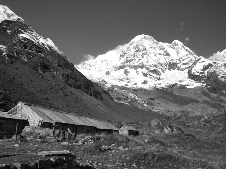
- Samagaon: a Tibetan-influenced village at 3,530 m with views of Manaslu’s north face and the best acclimatisation side trips on the route.
- Birendra Lake: a glacial lake near Samagaon, turquoise in autumn and sacred to locals.
- Buddhist monasteries: the route passes ancient gompas at Lho, Shyala and Samagaon, and the ruined Ribung Gompa above Bihi.
- Samdo: the last village, a high pasture settlement with day hikes toward the Tibetan border and Gya La.
Related specialist guides
- Manaslu Trek Permits: Complete Guide to Costs and Rules
- Manaslu Trek Fitness and Acclimatisation
- Altitude Sickness on the Manaslu Circuit
- Tea House Standards on the Manaslu Circuit
- Food and Dining on the Manaslu Circuit
- Annapurna Circuit Trek 2026 Guide
FAQ
Is Manaslu harder than the Annapurna Circuit?
Comparable in altitude (Larkya La 5,106 m versus Thorong La 5,416 m) but with longer remote stretches and simpler infrastructure. Fitness-wise the two are similar; Manaslu’s challenges are more logistical, Annapurna’s are more endurance-paced.
Can I trek it independently in 2026?
The two-person minimum has been dropped for 2026 and a guide is no longer legally required on the Manaslu route, but permits must still be arranged through a registered agency, and solo trekking here remains a choice most experienced operators advise against: navigation, altitude decisions and the pass crossing all benefit enormously from local judgment.
Best season?
October-November and March-May. The pass can close in winter snow and sits in cloud through much of the monsoon.
Is there WiFi on the trail?
Limited. Some teahouses in the larger villages offer paid WiFi or mobile data (Ncell and NTC), but above 4,000 m expect little or no connectivity, and treat anything you get as a bonus rather than a plan.
How long do I need?
13-15 days door to door including the two long drive days. Add 5-7 days for the Tsum Valley extension. Keep one spare day for the pass.
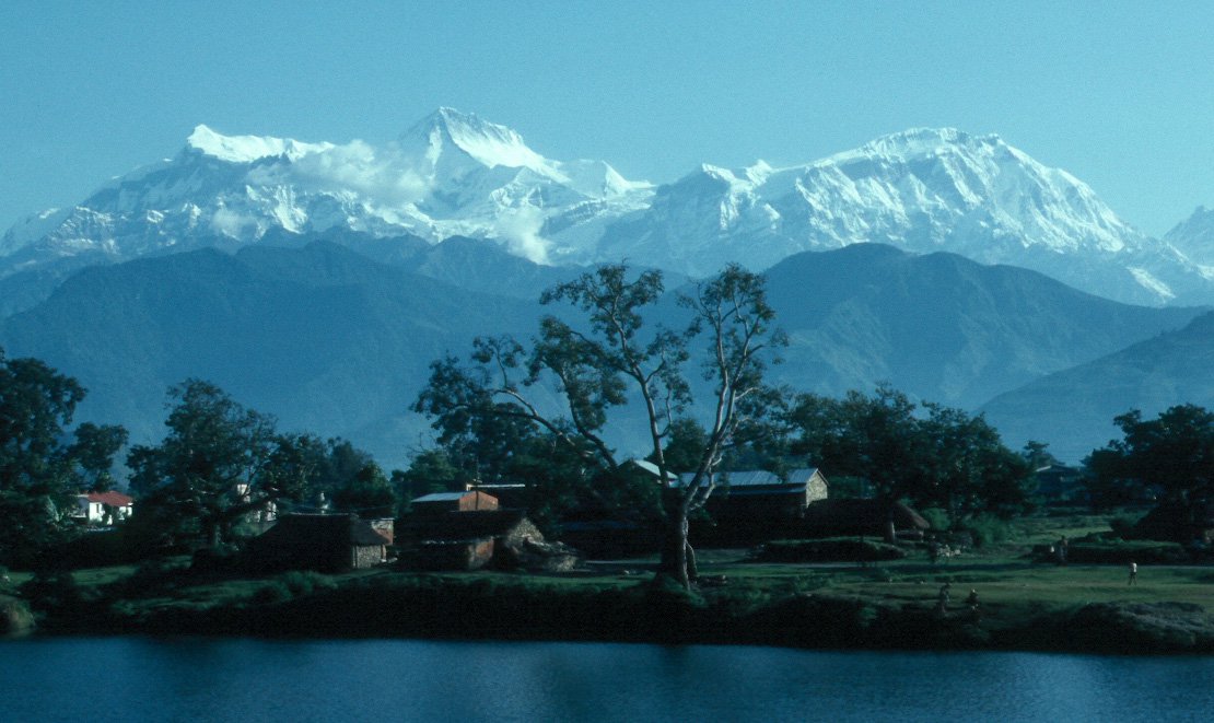
Featured image: Mount Manaslu, via Wikimedia Commons (CC).
Share this content: