Bheri Corridor Flood: Jajarkot-Dolpa Road Blocked
Bheri Corridor update, September 14, 2026: The road linking Jajarkot with Dolpa district is fully blocked after a flash flood on the Baulaha Khola late on Sunday night, September 13, swept through Nalgad Municipality in Jajarkot and washed away homes, shops and other structures along the highway. Police said no deaths or injuries had been reported as of Monday afternoon, but passenger and cargo traffic on the corridor, the main road route into Dolpa and the Shey Phoksundo region, has come to a complete halt.
The flood struck the stretch of river between wards 1 and 2 of Nalgad Municipality after hours of torrential rain. At Bairitaal in ward 1, the water swept away temporary homes and businesses, while on the road itself flood debris and cut sections have made it impossible for vehicles to run, according to the Kathmandu Post, which first reported the blockage, and Online Khabar, which confirmed it independently on Monday morning.
- The Jajarkot-Dolpa road (Bheri Corridor) is fully blocked after flash flooding on the Baulaha Khola, also spelled Bahula Khola, in Nalgad Municipality, Jajarkot.
- No deaths or injuries have been reported. A 10-member police team has been deployed to the area.
- Temporary homes, grocery shops, a poultry feed shed, a fresh-meat shop, a water mill, an auto-rickshaw and a tractor were destroyed or damaged.
- Multiple sections of the road are cut, including damage on the Khahare Khola stretch. No reopening timeline has been announced.
- Trekkers heading to Dolpa, Phoksundo Lake or Upper Dolpo in the next days should build in buffer time, confirm access with local operators, and avoid attempting to cross flooded or landslide-hit road sections.
Table of contents
- What happened on the Baulaha Khola
- Where exactly the road is cut
- Police response and casualty status
- Why the Bheri Corridor matters to trekkers
- A road that was already struggling
- Second outlet confirms multiple cuts
- What trekkers should do now
- Weather outlook for Karnali
- Status at a glance
- Frequently asked questions
- Sources

What happened on the Baulaha Khola
Torrential rain late on Sunday night, September 13, triggered flash flooding on the Baulaha Khola, a tributary stream that crosses the Jajarkot-Dolpa road between wards 1 and 2 of Nalgad Municipality in Jajarkot district, Karnali Province. The floodwater completely blocked a section of the Bheri Corridor, the newspaper reported, and swept away temporary homes and businesses at Bairitaal in ward 1.
The damage inventory compiled by police on Monday morning reads like a list of a small riverbank settlement’s whole economy. Several temporary structures, including grocery shops and other businesses, were destroyed. A poultry feed shed and a fresh-meat shop were swept away, along with about 100 broiler chickens. Mud and floodwater damaged another grocery shop. An auto-rickshaw and a tractor were partially buried and damaged. A water mill in Nalgad ward 2 was washed away entirely.
Flash floods of this kind are a known hazard of Nepal’s late-monsoon weeks, when saturated hillsides send sudden pulses of water and debris down small streams. The Baulaha Khola is exactly the sort of steep tributary that can rise from a trickle to a destructive torrent within hours under prolonged heavy rain. Travellers who have spent time on Nepal’s mid-hill highways in September will recognise the pattern: overnight cloudbursts, then a morning of cut roads and stranded vehicles.
Where exactly the road is cut
The immediate blockage is on the Jajarkot side of the corridor, between Nalgad Municipality wards 1 and 2, at the point where the Baulaha Khola, which Online Khabar romanises as the Bahula Khola, crosses the road. But the damage is not confined to one crossing.
Online Khabar’s reporting from Surkhet adds that the flood cut various parts of the road, and that floodwater on the Khahare Khola tore the road surface open, leaving it in a condition where vehicles cannot operate. Local resident Motiram Hamal told the outlet that the flood damaged several sections of the road and also caused damage to sloped ground on the Nalgad ward 1 side. In other words, this is a multi-point failure along a stretch of fragile highway, not a single washed-out culvert.
For route planning purposes, the practical picture is simple: the road is not passable at the moment, and there is no announced timeline for reopening. Motorable traffic between Jajarkot and the districts up the corridor, including Dolpa, is halted until road crews can reopen and repair the damaged sections.
Police response and casualty status
Police Inspector Suman Gaire said officers were still assessing the full extent of the damage on Monday. A 10-member police team led by Inspector Kiran Sapkota was deployed to the area after the flooding to assist with rescue and relief efforts.
Significantly for a flood story in a country that has seen far grimmer headlines this monsoon, no deaths or injuries were reported in the Jajarkot flooding. That sets it apart from the disasters that have struck other Karnali and central Nepal corridors this season, including the Bhotekoshi and Rasuwa floods that dominated national coverage in recent weeks. The structures lost on the Baulaha Khola appear to have been emptied or evacuated in time, and the police deployment is oriented toward relief rather than search and recovery.
Why the Bheri Corridor matters to trekkers
For most international visitors, Jajarkot is not a name on the standard itinerary. But the road that passes through it is the principal surface link for one of Nepal’s most remarkable trekking destinations. The Bheri Corridor connects Jajarkot, Rukum West and Dolpa, as Online Khabar notes, making it the main road artery into Dolpa district.
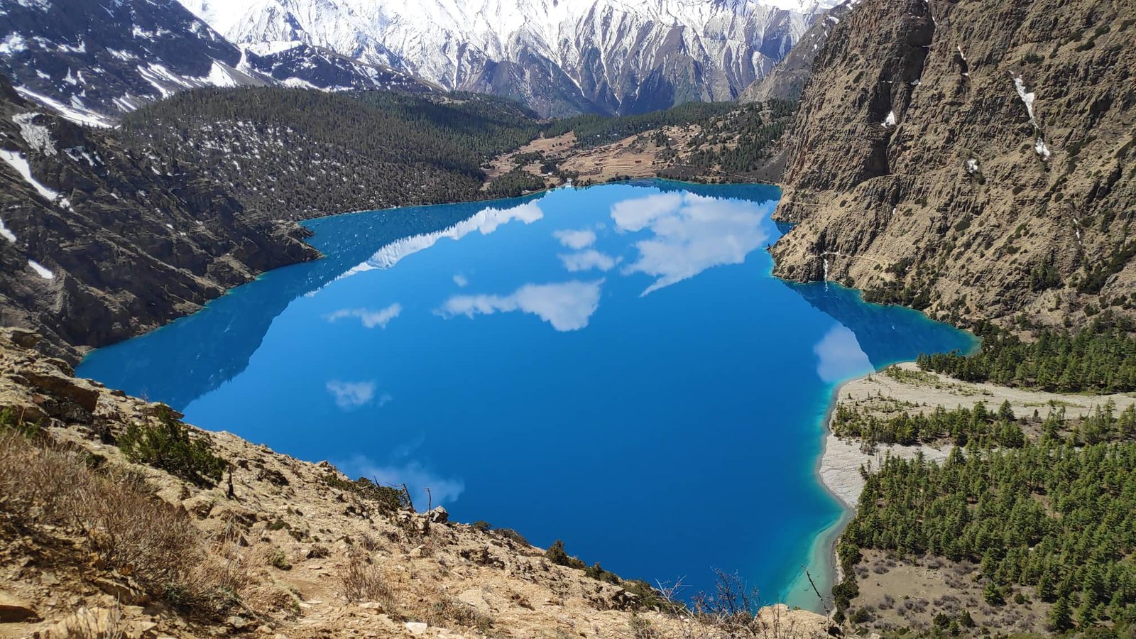
Dolpa is Nepal’s largest district by area, covering 7,889 square kilometres of trans-Himalayan terrain, with its administrative headquarters at Dunai, according to Wikipedia’s district profile. Its population of roughly 43,000 is spread across some of the most sparsely inhabited country in the Himalaya. The district’s star attraction is Shey Phoksundo National Park, established in 1984, which at 3,555 square kilometres is Nepal’s largest and only trans-Himalayan national park. The park’s signature feature, Phoksundo Lake, sits at 3,612 metres and is among the most photographed bodies of water in the country.
Trekkers know the region through the Lower Dolpo circuit, the Upper Dolpo trek to Shey Gompa and the ancient salt-trade routes of the high desert, and the trails that cross passes above 5,000 metres between Dolpo, Mustang and Mugu. These are bucket-list journeys, run in short seasonal windows, and every itinerary in the region depends on getting people and supplies into the district. While many trekkers have historically flown into Dolpa’s airstrip at Juphal from Nepalgunj, the road corridor carries the district’s cargo, fuel, construction material and a growing share of passenger traffic. When the road is cut, the district feels it.
Travellers planning a Dolpo journey this autumn will also need their paperwork in order: the region’s treks require national park entry and special area permits on top of the standard TIMS card, and our guide to Nepal trekking permits for 2026 breaks down what Upper Dolpo and Shey Phoksundo trips cost in fees.
A road that was already struggling
The flood lands on a corridor that was already making the news for the wrong reasons. As TravellingNepal reported earlier this month, five motorable bridges being built along the Bheri Corridor remain unfinished nearly six years after their construction contracts were signed in January 2021, with combined physical progress stalled at just 12 percent. The contractor for the bridges over the Jhuprekhola and Nalagad Khola, among others, has been paid about a quarter of the contracted value while the structures remain incomplete. You can read the full breakdown in our report on the unfinished Bheri Corridor bridges.
The corridor has also been blocked repeatedly this monsoon. In August, debris at Rijegad Khola in Rukum West cut the same road, one of seven road sections blocked across Nepal in a single week of monsoon damage. A road that closes, reopens, and closes again within a single season is the practical definition of a fragile link, and this week’s flood is the latest entry in that pattern.
The unfinished bridges matter in a specific way during a flood. Bridge gaps mean the road is forced down to water level at river crossings, exactly where flash floods do their worst damage. Completed, elevated crossings would give the corridor a margin of resilience; until they exist, every serious flood on the Bheri’s tributaries is a threat to sever the road.
Second outlet confirms multiple cuts
The blockage was reported independently by two of Nepal’s leading news outlets on Monday morning, which puts the core facts on solid ground. The Kathmandu Post, reporting from Jajarkot, carried the police account of the Bairitaal destruction and the police deployment. Online Khabar, reporting from Surkhet in Nepali, confirmed the corridor blockage and added detail: multiple cut sections, the Khahare Khola tearing the road surface, and damage to sloped ground on the ward 1 side.
Online Khabar also reported a secondary landslide in the same municipality. After Monday’s continuous rain, a landslide hit a cowshed area at Dandagau in Nalgad Municipality ward 2, killing a pair of oxen. Local resident Narayanprasad Gautam said the houses of Ramkumar Jaisi and Damodar Khatri in the area are now at risk, with the ground around the village cracked in multiple places and further damage possible. The account is a reminder that the hazard in this corner of Karnali is not one river but an entire saturated hillside system.
Neither outlet reported a reopening estimate as of Monday afternoon. We will update this article as new information is confirmed.
What trekkers should do now
If you have a Dolpo, Phoksundo or Karnali trip planned in the coming days or weeks, here is a practical checklist:
- Do not plan to drive the corridor right now. The road is fully blocked and there is no announced reopening timeline. Assume no overland access into Dolpa from the Jajarkot side until a reopening is confirmed.
- Contact your operator or local contacts before committing. Conditions on Nepal’s mid-hill roads can change daily during the monsoon tail. A section blocked on Monday may be cleared within days, or may stay cut for weeks if the damage is structural.
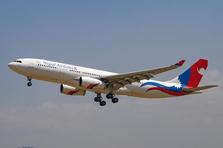
- Check the flight option. Flights from Nepalgunj to Dolpa’s airstrip at Juphal have historically been the classic approach for trekkers, and they sidestep the road entirely, though high Himalayan weather and demand make schedules worth confirming with airlines in advance.
- Build buffer days into any September itinerary. The Department of Hydrology and Meteorology’s Monday bulletin still forecasts possible heavy rain in parts of the country, including the hilly zones, so more disruption this week cannot be ruled out.
- Never cross a flooded or cut road section on foot. It is tempting when a trail or detour looks shorter than the wait, but flash flood streams and unstable cut banks are genuinely lethal. Turn back or wait. If you are caught in an active flood zone, move to higher ground immediately and follow the instructions of local police, who are deployed in the area.
- Read up on monsoon and mountain risk before you go. Our complete guide to trekking safety and health in Nepal covers weather windows, insurance, evacuation logistics and the decisions that keep remote-region trips from turning into rescue stories.
Weather outlook for Karnali
The meteorological backdrop to this flood is a monsoon that has not yet finished with Nepal. The Department of Hydrology and Meteorology’s forecast division bulletin for Monday, as reported by Online Khabar, states that skies will be generally cloudy across the country with the possibility of heavy rain at one or two places in the hilly parts of Karnali and Koshi provinces, and in the hilly and Terai parts of Bagmati, Gandaki and Lumbini provinces.
The bulletin also flags the possibility of moderate rain with thunder and lightning in a few places, with light snow possible at a few high-Himalayan locations. For a corridor whose flood damage is fresh and whose repair crews will be working on cut slopes, even moderate additional rain is an operational concern. Travellers should treat this week’s Karnali weather outlook as unsettled and plan accordingly.
Status at a glance
| Item | Status as of Monday, September 14, 2026 |
|---|---|
| Jajarkot-Dolpa road (Bheri Corridor) | Fully blocked, multiple sections cut |
| Cause | Flash flood on the Baulaha (Bahula) Khola late Sunday night, plus damage on the Khahare Khola |
| Deaths and injuries | None reported |
| Structures lost or damaged | Temporary homes, grocery shops, poultry feed shed, fresh-meat shop, water mill, auto-rickshaw, tractor |
| Rescue and relief | 10-member police team deployed; damage assessment under way |
| Reopening timeline | Not announced |
| Trekking trails in Dolpa | Not affected by the flood; the disruption is to road access |
Frequently asked questions
Is the Jajarkot-Dolpa road open right now?
No. As of Monday, September 14, 2026, the Bheri Corridor road between Jajarkot and Dolpa is fully blocked after flash flooding on the Baulaha Khola. Multiple sections of the road are cut and vehicles cannot operate on the damaged stretches. No reopening timeline has been announced.
Can I still trek in Dolpo or visit Phoksundo Lake?
The flooding has hit the road corridor in Jajarkot, not the trekking trails of Dolpa itself. The disruption is to access. Trekkers already inside the district can continue their journeys, but anyone planning to enter or exit Dolpa by road in the coming days should confirm the corridor’s status with local operators first and consider the flight route via Nepalgunj and Juphal as an alternative.
Is it safe to travel in Jajarkot and Karnali this week?
There are no reported casualties from this flood, and a police team is deployed in the area. However, the weather outlook still carries a risk of further heavy rain in Karnali’s hills, and a secondary landslide in Nalgad ward 2 has placed homes at risk. Travellers should avoid flood-hit zones and cut road sections, monitor local advisories, and keep flexible plans.
When will the road reopen?
Neither the Kathmandu Post nor Online Khabar reported a reopening estimate as of Monday afternoon. Reopening depends on the extent of the damage, which police were still assessing, and on the weather. Recent precedent on this corridor suggests repairs can take days to weeks depending on severity.
What permits do I need for a Dolpo trek?
Dolpo treks require entry permits for Shey Phoksundo National Park and, for the Upper Dolpo routes, a special area permit, in addition to the standard TIMS arrangements. See our 2026 Nepal trekking permits guide for the current fee structure.
Sources
- Flood blocks Jajarkot-Dolpa road, sweeps away homes and shops, Kathmandu Post, September 14, 2026.
- Bheri corridor blocked after flooding in Bahula river, Online Khabar, September 14, 2026 (Nepali language).
- Heavy rain likely in few places in Koshi, Karnali, Bagmati, Gandaki and Lumbini, Online Khabar, September 14, 2026 (Nepali language, reporting the Department of Hydrology and Meteorology forecast bulletin).
- Dolpa District, Shey Phoksundo National Park and Bheri River, Wikipedia (background: district area and population, park extent and Phoksundo Lake elevation, river system).
- TravellingNepal previous coverage: Bheri Corridor Bridges Unfinished After Six Years (September 12, 2026).
This article was published on September 14, 2026, and reflects information confirmed by the two named news outlets as of Monday afternoon, Nepal time. It will be updated if the road status changes.
Share this content: