Tribhuvan Highway Blocked After Salyangkhola Landslide: What Kathmandu-Bound Travellers Need to Know
Breaking update, Thursday 10 September 2026 (09:00 NPT): The Tribhuvan Highway (Tribhuvan Rajpath, NH 41) — the oldest highway in Nepal and, this month, the main detour artery for Kathmandu-bound traffic avoiding the collapsed Prithvi Highway — is blocked in both directions after a landslide came down at Salyangkhola in Thakre Rural Municipality-7, Dhading district, at around 9 pm on Wednesday night, according to the District Police Office, Dhading. Four excavators have been clearing the debris since Thursday morning, but police report that the slope keeps feeding fresh material onto the road, and as of publication the highway has not reopened.
The closure lands on top of an already fragile September for Nepal travel. The Prithvi Highway remains cut at Krishnabhir, the Narayangadh-Mugling road is running under a partial closure schedule, and the Tribhuvan Highway was one of the few working alternatives left for reaching Kathmandu from the Terai. Here is what is confirmed, why this road matters, and what the blockage means if you are travelling to or from Kathmandu in the coming days.
What Happened at Salyangkhola — What Is Confirmed
According to Online Khabar (Dhading, 25 Bhadra / 10 September 2026, Nepali language), Dhading police confirmed the following facts, all of which were verified against the full article text before publication:
- The blockage: A landslide came down at Salyangkhola in Thakre-7, Dhading at approximately 9 pm on Wednesday night (9 September), blocking the Kathmandu-Hetauda section of the Tribhuvan Rajpath in both directions.
- Ongoing slide risk: Police say debris continues to come down intermittently, which is slowing the clearing work and making the site dangerous for roadside waiting.
- Clearing effort: Four machines (excavators/dozers) have been deployed since early Thursday morning to remove the debris.
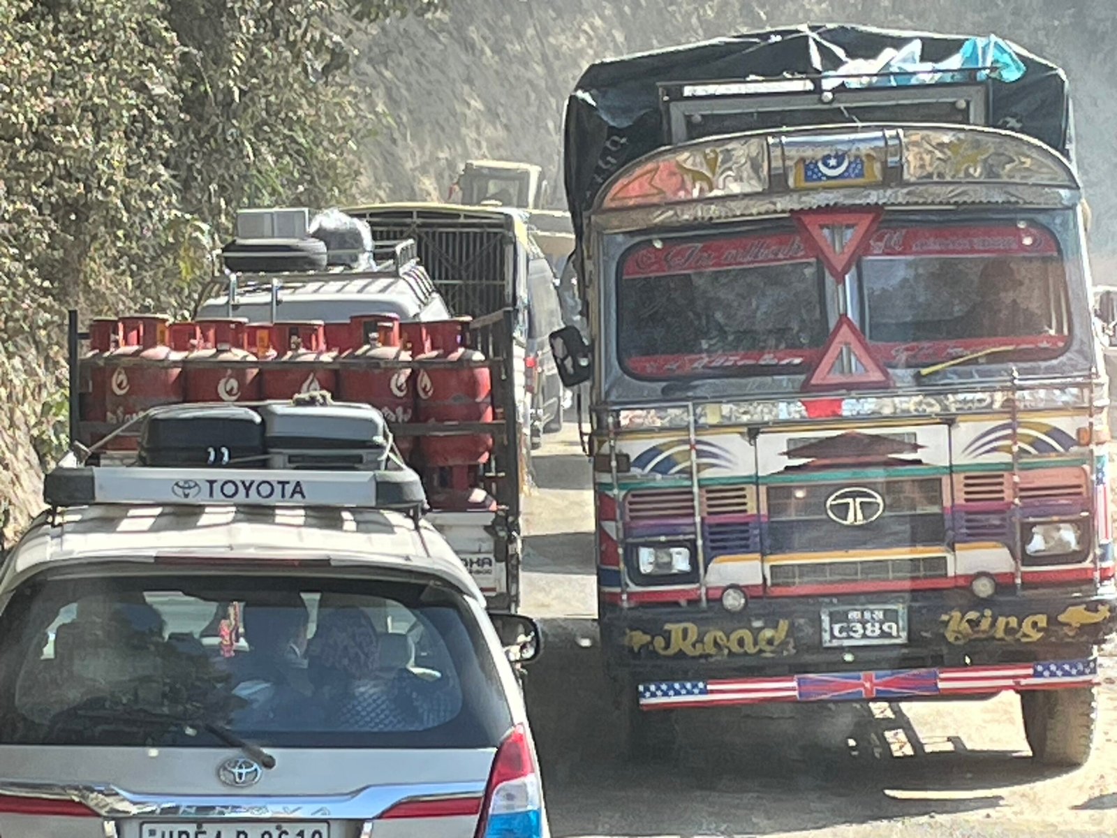
- Why this road: Because the Prithvi Highway is closed at Krishnabhir after the flood washed the road away there, vehicles entering and leaving Kathmandu have been using the alternative highways connecting Hetauda and Kathmandu — and the Tribhuvan Highway is one of them. The diversion has pushed heavy traffic onto the three Kathmandu-Hetauda routes, all of which are now congested.
What is not yet confirmed: a reopening time. No outlet is reporting when the road will be passable, and with the slide still active, any estimate would be premature. This article will be updated as confirmed information arrives.
Why the Tribhuvan Highway Matters: Nepal’s First Highway, Now a Lifeline Detour
Most travellers heading to Nepal this autumn have never heard of the Tribhuvan Rajpath until this month. They know it now, because it is the road their buses are being diverted onto.
The Tribhuvan Highway, designated NH 41, connects the outskirts of Kathmandu with the Sirsiya Integrated Check Post in Birgunj on the Nepal-India border. It is the oldest highway in Nepal — completed in 1956 with Indian assistance, it was the first serviceable road connection between Kathmandu and India, and it still carries the name of King Tribhuvan (1906-1955). Before it existed, travellers reached the capital on foot and by rail via the historic trade route through Kulekhani, Chitlang, the Chandragiri Pass and Thankot (Wikipedia, Tribhuvan Highway).
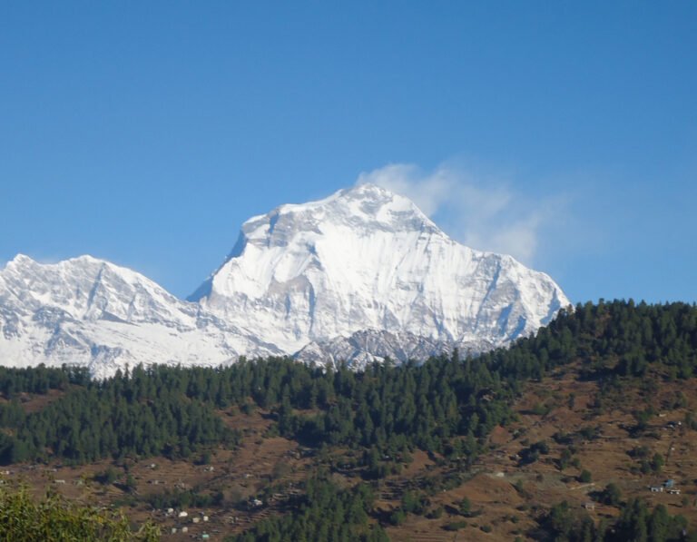
Geography explains both its importance and its vulnerability. From Hetauda the road climbs through an unending series of switchbacks in the Sivalik Hills: only 32 kilometres as the crow flies from Hetauda to Naubise, but 107 kilometres by road. At Naubise, 25 kilometres west of Kathmandu, it meets the Prithvi Highway — the junction where every Kathmandu-bound vehicle funnels onto the same final stretch. The total length of the highway runs to about 116 kilometres. And at Daman, on the highway’s ridge line, sits what is probably the finest roadside Himalayan viewpoint in Nepal, stretching on a clear day from Dhaulagiri in the west to Everest in the east.

Nepal’s September 2026 Road Crisis: How This Fits the Pattern
The Salyangkhola slide is not an isolated event. It is the latest in a chain of monsoon disasters that has reshaped Nepal’s road map for travellers this month:
| Road / Route | Status (as of 10 September 2026) | What It Means for Travellers |
|---|---|---|
| Prithvi Highway (Kathmandu-Pokhara) | Closed at Krishnabhir after flood damage; long-term fix under study | Kathmandu-Pokhara buses detour via the Hetauda corridor or run coastal roads; journeys add several hours |
| Tribhuvan Highway (Kathmandu-Hetauda) | Blocked both directions at Salyangkhola, Dhading since Wednesday 9 pm | The main Krishnabhir detour is now cut; expect chaos on the remaining Hetauda routes |
| Narayangadh-Mugling road (Mugling-Narayanghat) | Partial closure; large buses and freight diverted, small vehicles on schedule | Travelling to Chitwan and Pokhara takes longer; check your bus operator’s routing |
| Besisahar-Chame road (Annapurna/Manang) | Heavy vehicles banned on the flood-damaged section | Annapurna Circuit starters: travel lighter and expect jeep-only access beyond Besisahar |
| Karnali Highway (Surkhet-Jumla) | Blocked at Gagane Khola, Kalikot after a 5 September landslide | Overland access to Jumla, Mugu and Rara Lake trailheads is paused until cleared |
Read together, the pattern is blunt: every major road approach to Kathmandu, and several key corridors beyond it, have taken monsoon damage within a single fortnight. The Rasuwa/Bhotekoshi flood of late August started the crisis by severing the northeast, and successive slides have now picked off the western and southern approaches one by one. For trekkers with fixed itinerary dates, the practical consequence is that overland logistics need a contingency plan this month in a way they normally do not.
What This Means for Travellers: Practical Guidance
If you are arriving in Kathmandu by air
Your flight is unaffected. Tribhuvan International Airport operates normally, and the blockage only affects surface transport. If your hotel transfer was arranged by vehicle from a Terai city, confirm with your operator whether the route passes through Hetauda.
If you are taking a tourist bus to or from Kathmandu
Tourist buses between Kathmandu and Pokhara or Chitwan were already detouring via the Hetauda corridor before this slide. With the Tribhuvan Highway now blocked as well, the remaining options are the Kanti Lokpath (Kanti Rajpath) and the Hetauda-Kulekhani-Sisneri road, both narrow hill roads that are already congested from the diverted volume. Concretely:
- Expect longer journeys: add several hours to any Kathmandu-Terai or Kathmandu-Pokhara bus trip, and plan to arrive before dark.
- Book the earliest departure available: morning buses face less accumulated congestion than afternoon ones.
- Keep food and water with you: these hill roads have long stretches without facilities, and queues at landslide points can last hours.
- Do not attempt night travel: police repeatedly warn that fresh slides come down at night, and rescue response is far harder in darkness.
If you are heading to an Annapurna or Manaslu trek
The Besisahar-Chame road ban on heavy vehicles is already complicating Annapurna Circuit starts, and the Karnali Highway blockage has paused overland access to the far-western trailheads. If your itinerary depends on a bus from Kathmandu to Besisahar or beyond, build in at least one buffer day and confirm the current routing with your operator. Our complete guide to trekking safety and health in Nepal covers the monsoon-season hazards and contingency planning in detail.
If you are self-driving or riding a motorcycle
The Salyangkhola stretch is closed until cleared — there is no realistic “pushing through” a two-way blockage on a single-lane hill road with an active slide above it. Check the police bulletin each morning before committing to a route, and remember that with the Prithvi Highway closed, the usual Naubise approach to Kathmandu itself runs through the junction where the Tribhuvan Highway ends.
Kathmandu-Hetauda Routes Compared: Your Remaining Options
With the Tribhuvan Highway blocked, travellers between Kathmandu and Hetauda (and everything beyond: Chitwan, Lumbini, Pokhara via the coastal route, the Indian border) have three remaining road options plus one aerial option. None is fast right now.
| Route | Normal Distance / Character | Current Situation (10 September 2026) |
|---|---|---|
| Tribhuvan Highway (NH 41) | 107 km Hetauda-Naubise; oldest highway, winding Sivalik switchbacks; Daman viewpoint en route | BLOCKED at Salyangkhola (Thakre-7, Dhading), both directions, since Wed 9 pm; 4 machines clearing, no reopening estimate |
| Kanti Lokpath / Kanti Rajpath | Old hill road via Kulekhani; narrower and slower than the Tribhuvan Highway | Open but absorbing diverted traffic; heavy congestion, vehicles over ten wheels barred |
| Hetauda-Kulekhani-Sisneri road | Hill route via the Kulekhani reservoir; scenic but single-lane in sections | Open but congested; small vehicles have been using it as a Narayangadh-Mugling workaround |
| Flights (Kathmandu-Bharatpur/Pokhara) | ~25 minutes to Bharatpur, then road to Chitwan; ~25 minutes to Pokhara | Bharatpur flights have already doubled as travellers abandon the broken road corridor; book early, seats sell out |
The aviation fallback deserves emphasis. When the Prithvi Highway first collapsed, Bharatpur Airport saw its Kathmandu flights double within days as travellers switched from road to air. That surge is the reason seats are scarce now; if your itinerary allows a flight to Bharatpur or Pokhara instead of a bus, book it today rather than tomorrow.
When Will the Tribhuvan Highway Reopen?
No reopening time has been announced, and travellers should treat any circulating estimate with caution. Three facts shape the realistic outlook:
- The slide is still active. Police report debris continuing to come down, which means clearing cannot safely proceed at full pace, and a cleared road can be re-buried within hours in these conditions.
- The four-machine deployment signals seriousness, not speed. A similar multi-machine response at Krishnabhir produced a partial, temporary track within days — but that was a lower, drier section. The Sivalik Hills in monsoon are historically slide-prone all the way from Hetauda to Naubise.
- Monsoon is not over. Mid-September typically still carries destabilising rain. The rains usually begin easing in late September, and by the October peak trekking season the road network is normally stable again. Until then, expect recurring short closures on every hill route.
For now, the operational word for anyone moving overland in central Nepal is patience. Budget extra days where you can, keep your plans flexible, and let your guesthouse or operator in Kathmandu know your updated arrival situation.
FAQs
Is the Tribhuvan Highway open right now?
No. As of Thursday 10 September 2026 (09:00 NPT), the Kathmandu-Hetauda section is blocked in both directions at Salyangkhola in Thakre-7, Dhading, after a Wednesday-night landslide. Four machines have been clearing since Thursday morning, but the slide was still feeding fresh debris when police last reported. There is no confirmed reopening time.
I have a trek starting from Besisahar next week. Should I be worried?
Build in a buffer day. The Besisahar-Chame road already bans heavy vehicles, and your Kathmandu-Besisahar bus may take longer than scheduled due to the wider road crisis. Contact your trekking agency to confirm the current routing and departure time, and consider a buffer night in Besisahar or Kathmandu.
Is it safe to travel to Nepal in September 2026?
Nepal remains open and safe to visit, but this September demands more planning than usual. The Rasuwa flood damage, the Prithvi Highway collapse at Krishnabhir, and this Tribhuvan Highway blockage all affect surface logistics, not the treks themselves. Fly where you can, book early departures, avoid night road travel, and read our full Nepal trekking safety and health guide before committing to dates.
What is the fastest way from Kathmandu to Chitwan right now?
The 25-minute flight to Bharatpur, followed by a short road transfer, is the fastest and most reliable option while the Hetauda corridor roads are congested. Seats are tight because demand has surged; book immediately. The bus alternatives via Kanti Lokpath or the Kulekhani road work but add several hours and carry landslide risk.
Was anyone hurt in the Salyangkhola landslide?
Police reports on the blockage do not mention casualties. The blockage is being handled as a road-clearing operation, not a rescue operation. No casualty figures have been reported by any outlet as of publication.
Key Takeaways
- The Tribhuvan Highway (NH 41) is blocked both directions at Salyangkhola, Dhading after a Wednesday 9 pm landslide; four machines are clearing; no reopening estimate exists yet.
- This is the main Krishnabhir detour: the road that Kathmandu-bound traffic was using because the Prithvi Highway is cut — the blockage compounds an existing crisis rather than standing alone.
- Remaining Kathmandu-Hetauda options: Kanti Lokpath and the Hetauda-Kulekhani-Sisneri road, both congested; or fly to Bharatpur/Pokhara, where seats are already scarce from the earlier surge.
- Traveller priorities: morning departures, no night travel, buffer days around trek starts, food and water carried, and confirm routing with your operator before every leg.
- The wider September pattern: Prithvi Highway, Tribhuvan Highway, Narayangadh-Mugling, Besisahar-Chame and the Karnali Highway have all taken monsoon damage this month — plan overland Nepal with contingency.
Related Guides
- Nepal Trekking Safety and Health Guide (2026) — monsoon hazards, contingency planning and health preparation for treks
- Prithvi Highway Krishnabhir Collapse: What Happened and the Detour Options — the original closure that pushed traffic onto the Tribhuvan Highway
- Krishnabhir Tunnel or Bridge Plan: The Long-Term Fix for the Prithvi Highway — the government study on permanent repairs and current detour specifics
- Bharatpur Flights Double as Travellers Abandon the Broken Road Corridor — the aviation fallback explained
- Narayangadh-Mugling Road Partial Closure — the Chitwan corridor’s schedule and vehicle restrictions
Sources
- Online Khabar (Nepali edition), “सोप्याङखोलामा पहिरो खसेपछि त्रिभुवन राजपथ अवरुद्ध” (“Tribhuvan Rajpath blocked after landslide in Salyangkhola”), 10 September 2026, 01:53 UTC — primary source, full text verified (Nepali language). Read the original report.
- Wikipedia, “Tribhuvan Highway” — route facts, 1956 construction history, NH 41 designation, Hetauda-Naubise distances, Daman viewpoint (accessed 10 September 2026).
- Internal reporting: TravellingNepal.com road-crisis coverage, September 2026 — Prithvi Highway Krishnabhir collapse and Nepal tourism recovery situation.
Share this content: