New Chinakot Durbar Viewpoint Trail Opens in Myagdi, Nepal
Chinakot, a 2,200 m hilltop crowned with the ruins of a palace of the Baranja kings, has opened as a new viewpoint destination in Mangala Rural Municipality, Myagdi district, after a trail and facilities project worth more than Rs 5 million (Rs 50 lakh) was completed this week. Gandaki Province Assembly member Resham Bahadur Jugjali inaugurated the finished infrastructure on Wednesday, September 9, 2026, and residents of Baranja, the village below, hope the site will pull trekkers and domestic visitors into a corner of the Dhaulagiri region that has long sat outside the main circuit maps.
According to Online Khabar (Nepali edition, September 10, 2026), the site now offers more than one kilometre of paved foottrail, roughly two kilometres of unpaved trail and road, viewpoint platforms, a shelter, drinking water and electric lighting extended from Baranja village. From the top, visitors look directly across at the Annapurna, Dhaulagiri, Gurja and Machhapuchhre ranges while the Myagdi River winds in coils far below.
- What: Chinakot, a 2,200 m historic palace site in Mangala Rural Municipality-3, Myagdi, has opened as a new tourist viewpoint destination as of September 2026.
- Investment: More than Rs 5 million (Rs 50 lakh) from the Gandaki Province Government, Mangala Rural Municipality and local community groups, spent across seven fiscal years.
- New facilities: Over 1 km of paved foottrail, about 2 km of unpaved trail, two viewpoint sites, a shelter, drinking water and electricity.
- Access: About one hour by vehicle from Beni Bazaar via Tatopani to Baranja, then a walk of about two hours uphill to Chinakot.
- Plan ahead: There are no hotels or restaurants at the site. Visitors self-cater, picnic groups can borrow utensils, and camping is the overnight option.
Table of contents
- What has opened at Chinakot?
- How to reach Chinakot from Beni
- What you can see from the top
- A palace of the Baranja kings
- Gharsunne Danda, the fenced boulder viewpoint
- Dhaulagiri region trekking context
- Why this opening matters now
- Frequently asked questions
- Sources
What has opened at Chinakot?
Chinakot occupies the crown of the hill at the head of Baranja village, spread across wards 3 and 4 of Mangala Rural Municipality in western Myagdi. The works inaugurated this week are the product of a sustained multi-year effort. Prakash Pun, secretary of the Chinakot Conservation and Management Committee, told Online Khabar that investment began in fiscal year 2076/77 and ran through 2082/83 in the Nepali (Bikram Sambat) calendar, which corresponds roughly to 2019/20 through 2025/26 in the Gregorian calendar.
The funding, as confirmed to Online Khabar, breaks down as follows:
| Funder | Amount | What it paid for |
|---|---|---|
| Gandaki Province Government | Rs 40 lakh (Rs 4 million) | Tourism infrastructure construction |
| Mangala Rural Municipality | Rs 8 lakh (Rs 800,000) | Local infrastructure works |
| Chinakot Aama Samuha (mothers’ group) | Rs 2 lakh (Rs 200,000) | Site works |
| Deurali Community Forest User Group | Electrification works | Power line from Baranja to Chinakot |
| Local residents | 10 percent of total budget | Volunteer labour contribution |
Beyond the headline figures, the finished package includes more than one kilometre of paved foottrail and about two kilometres of unpaved trail and road, a sightseeing platform, a shelter where walkers can rest, and a drinking water supply. The Deurali Community Forest User Group extended electricity from Baranja village to Chinakot, and residents contributed ten percent of the total project budget as volunteer labour, Pun said.
How to reach Chinakot from Beni
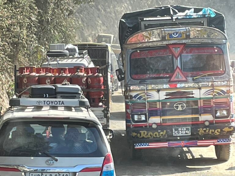
Beni Bazaar, the district headquarters of Myagdi, is the practical jumping-off point. From Beni, the route runs through Tatopani, the hot springs village that trekkers on the southern Annapurna Circuit know well, and on to Baranja. Online Khabar reports the drive takes about one hour; from Baranja the final leg is on foot, a walk of about two hours uphill to Chinakot itself.
| Leg | Mode | Time |
|---|---|---|
| Beni Bazaar to Tatopani and Baranja | Vehicle (jeep or bus) | About 1 hour |
| Baranja to Chinakot | On foot, uphill | About 2 hours |
Two practical realities shape any trip plan. First, there are no hotels or restaurants at Chinakot, so visitors must arrange their own food. Second, while picnic groups can borrow utensils arranged at the site, overnight visitors are effectively camping. Besh Kumari Pun, acting ward chair of Mangala-3, told Online Khabar that visitors come in the dry months outside the monsoon to take holidays and camp at the site, which sits far from settlements in quiet surroundings.
Trekkers planning a bigger loop can pair Chinakot with the wider Myagdi trail network. Our Annapurna region trekking guide covers the classic circuits that pass through Tatopani and the Kali Gandaki corridor, and for the approach from Nepal’s lakeside tourist hub, our Pokhara travel guide covers the planning basics. For the paperwork side of any Nepal trek, our guide to trekking permits and TIMS cards explains what applies where.
What you can see from the top
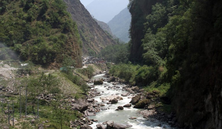
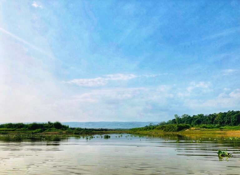
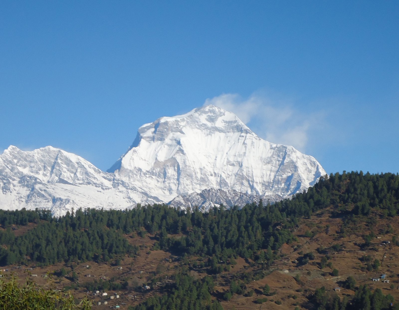
The payoff is the panorama. At 2,200 m above sea level, Chinakot looks across at four Himalayan fronts: the Annapurna range, the Dhaulagiri range, Gurja Himal and Machhapuchhre, the fishtail peak. Sunrise is the headline show. Below the ridge, the Myagdi River winds in snakelike coils through rural settlements on the hillsides of western Myagdi, a landscape of terraces and ridgelines that locals describe as the district’s hill-country heart.

Dhaulagiri I, the seventh highest mountain in the world at 8,167 m, anchors this skyline. First climbed on 13 May 1960 by a Swiss-Austrian-Nepali expedition, it is the highest mountain lying entirely within the borders of a single country, with Annapurna I (8,091 m) sitting just 34 km to its east, according to Wikipedia’s Dhaulagiri entry. At 2,200 m, Chinakot keeps visitors in hill-walking territory rather than high-altitude trekking country, but the mountain backdrop is genuine Dhaulagiri range territory.
A palace of the Baranja kings
The site’s draw is not only scenic. Ran Bahadur Roka, a Baranja elder, told Online Khabar that in the era of the Bhure-Takure kings, the king of Baranja kept his palace at Chinakot. Traces of that palace survive on the hilltop: the remains of the palace walls and a quern stone (janto) used for grinding grain are still in place. Two named stones carry their own stories. One is known as the stone where the queen combed her hair, and two others are named Behula and Behuli, after the bride and groom of folklore.
At Tharpu village, on the shoulder of the hill below Chinakot, a second palace building preserves khuda (curved daggers), talwars (swords) and dhals (shields), the traditional hand weapons of the era. Together the two sites form one of the more compact heritage circuits in the Myagdi hills, and ward officials say the archaeological material still needs proper conservation.
The change in the site’s fortunes is recent. Before 2075 BS (before about 2018 AD and Nepal’s federal restructuring), Chinakot was a deserted hilltop with a single cowshed, in the words of Tek Bahadur Chhantyal, chair of the Deurali Community Forest User Group. He told Online Khabar that once the province and the local government built a foottrail that could be walked safely, guests began to arrive. Chhantyal also flagged the unfinished business: the site still needs a perimeter fence for safety and formal conservation of the archaeologically significant material.
Gharsunne Danda, the fenced boulder viewpoint
Immediately beside Chinakot, on Gharsunne Danda, builders have constructed a second viewpoint around a distinctive round boulder at the hilltop, fenced on all sides and reached by its own new foottrail. The boulder viewpoint and the main ridge viewpoint give photographers two framed positions for sunrise and the river bends below, and the fencing answers part of the safety concern that local officials raised.
Dhaulagiri region trekking context
Myagdi is one of five districts that contain the Annapurna Conservation Area, Nepal’s largest protected area at 7,629 square kilometres, established in 1985 and spanning Manang, Mustang, Kaski, Myagdi and Lamjung, according to Wikipedia. The district sits on the southern flank of the range, where steep terrain makes for dramatic viewpoints but also for weather risk. As recently as late October 2025, heavy snowfall prompted authorities in Myagdi and Mustang to halt treks around the Annapurna range on avalanche and safety grounds, a reminder that conditions in this region can swing quickly even in autumn.
For trekkers, the practical significance of Chinakot is a new half-day objective with an overnight option, reachable from Beni or Tatopani within a single day. Visitors weighing a wider western-Nepal itinerary can compare it with the Rara Lake trek in Karnali, another off-the-beaten-path destination, and with the quieter routes profiled in our guide to Nepal’s hidden trekking gems. On timing, our best time to visit Nepal guide explains why the autumn window now underway is the peak season for mountain visibility.
Why this opening matters now
The inauguration lands at a delicate moment for Nepali tourism. The floods of August 26, 2026 in the Bhotekoshi and Rasuwa corridors dominated the past two weeks of news, and the Nepal Tourism Board is campaigning to keep visitors coming, a story we covered in our report on the “Your Visit Matters” recovery campaign. Within that picture, the quiet opening of a new viewpoint in Myagdi is a counter-signal: a destination that is opening rather than closing, funded by a provincial government still spending on rural tourism infrastructure.
Jugjali, the province assembly member elected from Myagdi-1(b) who inaugurated the site, said the Gandaki government is also investing in tourism infrastructure at Jhankripani and Gammaduri, two other Baranja sites. Addressing residents, he urged them to use the new infrastructure to attract tourists, create income and employment, and move toward self-reliance. Those outcomes remain expectations rather than results. What is confirmed as of September 10, 2026 is the physical work: the trails, viewpoints, shelter, drinking water and power lines described above.
Among those present at the inauguration, Online Khabar reported former Constituent Assembly member Gam Bahadur Sris, Mangala Rural Municipality vice-chair Premakumari Kshetri and ward-4 chair Lal Bahadur Roka, each linking the site’s conservation and development to local prosperity.
The larger strategic point for travellers is dispersal. Nepal’s marquee routes concentrate visitors in a handful of valleys. Sites like Chinakot spread both footfall and tourism income across districts that the big circuits skip, and they give visitors a hill-country experience of Nepal, with villages, heritage and ridgelines, rather than a lodge-circuit one.
Frequently asked questions
Where is Chinakot?
Chinakot is a 2,200 m hilltop in Mangala Rural Municipality wards 3 and 4, Myagdi district, Gandaki Province, western Nepal. It sits at the head of Baranja village, reached via Tatopani from Beni Bazaar, the district headquarters.
How do I get to Chinakot?
Take a vehicle from Beni Bazaar via Tatopani to Baranja, a drive of about one hour as reported by local media, then walk uphill for about two hours. Beni is a regular stop on the Pokhara-Baglung road corridor, so most visitors approach from Pokhara.
Is there accommodation at Chinakot?
No. As of September 2026 there are no hotels or restaurants at the site. Visitors arrange their own food, picnic groups can borrow utensils on site, and camping is the overnight option.
What can I see from Chinakot?
Sunrise plus a panorama of the Annapurna, Dhaulagiri, Gurja Himal and Machhapuchhre ranges, with the Myagdi River winding below and rural settlements across the western Myagdi hillsides.
What is the history of the site?
Local tradition holds that the kings of Baranja kept a palace here in the era of the Bhure-Takure kings. Palace wall ruins, a grain-grinding quern stone, the queen’s hair-combing stone and the Behula-Behuli stones survive, and Tharpu village below preserves khuda daggers, talwar swords and dhal shields.
When is the best time to visit?
Locals report that visitors come in the dry months outside the monsoon, with autumn offering the clearest mountain visibility. At 2,200 m the site is a hill walk, not a high-altitude trek, so no acclimatisation schedule is needed.
Sources
- Online Khabar, Nepali edition, “Construction of tourism infrastructure in the Chinakot Durbar area”, September 10, 2026 (primary source, Nepali language; facts translated and cross-checked): onlinekhabar.com
- Wikipedia, “Dhaulagiri” (height, world ranking, first ascent): en.wikipedia.org/wiki/Dhaulagiri
- Wikipedia, “Annapurna Circuit” (Tatopani, Myagdi, October 2025 snowfall context): en.wikipedia.org/wiki/Annapurna_Circuit
- Wikipedia, “Annapurna Conservation Area” (size, districts, establishment year): en.wikipedia.org/wiki/Annapurna_Conservation_Area
Article published September 10, 2026. Facts labelled as reported or confirmed reflect the state of information as of that date; tourism outcomes discussed above are local expectations, not established results.
Share this content: