Rasuwa Flood Rescue Update: What It Means for Langtang Treks
Route alert: Update 15 September 2026: the government now says flood-damaged roads in the affected districts, including the Betrawati-Syaphrubesi corridor toward the Langtang trailhead described below, are targeted to be functional by the end of Asoj (mid-October), with Bailey bridge installation underway. Read the full recovery-deadline report: Nepal Targets Mid-October for Flood Road Recovery.
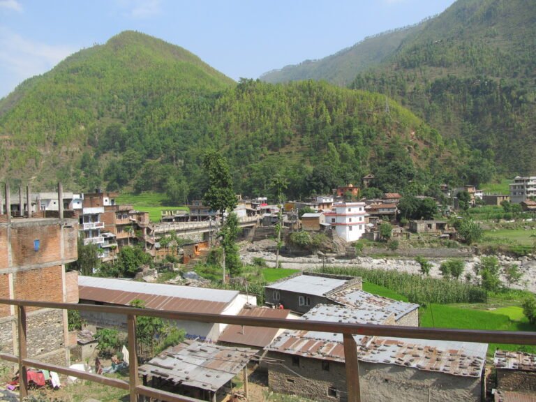
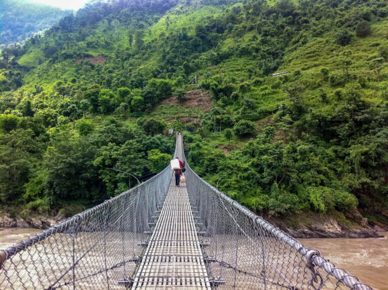
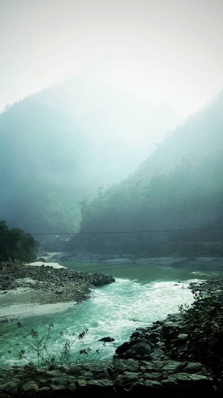
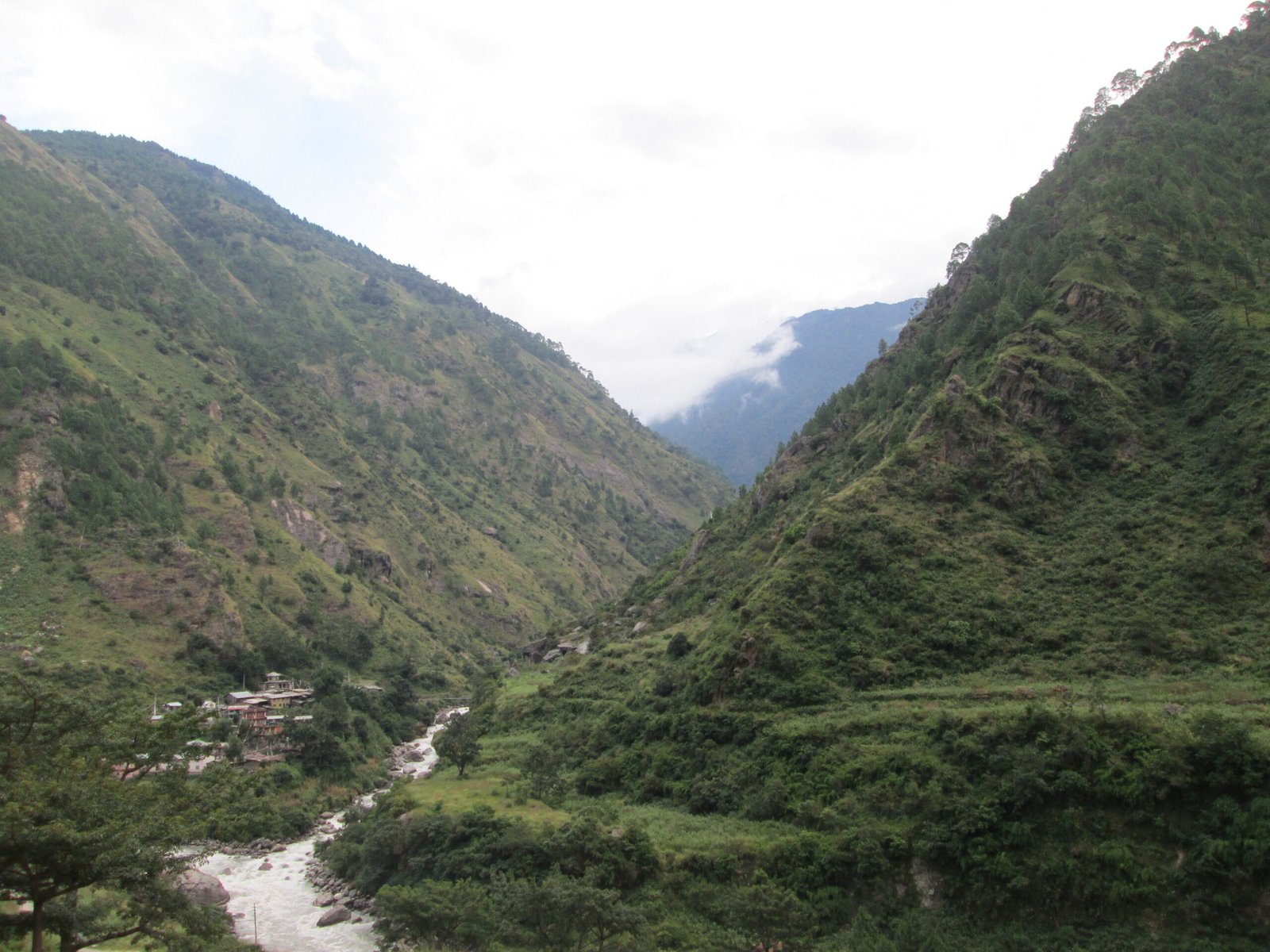
Featured image: Syabrubesi, the Langtang trek trailhead village in Rasuwa district, on the Trishuli river corridor hit by the August 26, 2026 flood. Photo by Rameshjarvis, CC BY-SA 4.0, via Wikimedia Commons.

As of September 1, 2026 (11:00 AM NPT update): Rescue teams in Nepal have recovered the bodies of 23 people and evacuated 279 people alive after a catastrophic flash flood surged down the Bhotekoshi and Trishuli rivers on August 26, devastating riverside areas of Rasuwa, Nuwakot and Dhading districts north of Kathmandu. According to the Independent Power Producers’ Association, Nepal (IPPAN), 894 people remain missing or out of contact across 11 hydropower projects in the affected corridor, most of them workers caught in tunnels that flooded within minutes. More than 9,200 Nepali Army personnel are deployed from Timure in Rasuwa down through Nuwakot, Dhading, Chitwan and Nawalparasi East.
For trekkers, the significance is geographical: this is the river corridor that carries the road to Syabrubesi and Dhunche — the trailheads of the Langtang Valley trek and the Gosaikunda lakes — and the route to the Rasuwagadhi–Kerung border crossing with Tibet. No official trekking closure has been announced as of publication, but access and trail conditions remain unconfirmed while rescue operations continue.
Related guide: Nepal Trekking Safety & Health: The Complete Guide
Key takeaways
- What happened: A massive flood swept down the Bhotekoshi into the Trishuli river system on August 26, 2026, destroying hydropower projects, roads, bridges and settlements along a corridor running from Timure (Rasuwa) through Nuwakot and Dhading.
- Casualties (as of September 1): 23 bodies recovered, 279 people rescued alive, 894 reported missing or out of contact across 11 hydropower projects (IPPAN data).
- Hardest-hit site: The 216 MW Upper Trishuli-1 project in Rasuwa, where 573 people remain unaccounted for and roughly 1,400 were working on the day of the flood.
- Rehabilitation: Nepal’s infrastructure ministry has formed a task force with a 21-day deadline for initial rehabilitation — covering roads, bridges, suspension bridges, drinking water, communications and health services.
- For trekkers: The flood hit the access corridor for Langtang and Gosaikunda treks two to six weeks before the autumn trekking season. No trail closure is confirmed; check with operators and official advisories before travelling to Rasuwa, Nuwakot or Dhading.
Table of contents
- What happened on August 26?
- Rescue update: the numbers as of September 1
- Inside the flooded tunnels: project by project
- How Nepal is returning foreign victims’ bodies
- The 21-day rehabilitation plan
- Why the Rasuwa flood matters for trekkers
- What this means for the autumn Langtang trekking season
- Safety advice for travellers in flood-affected districts
- Frequently asked questions
- Sources
What happened on August 26?
In the early morning of August 26 (10 Bhadra in the Nepali calendar), a devastating flood surged down the Bhotekoshi river and into the Trishuli, one of the major tributaries of the Narayani river basin in central Nepal. The Bhotekoshi itself is formed near the Rasuwagadhi border post by the meeting of the Gyirong Tsangpo (Kerung Khola) and the Lende Khola, both flowing in from Tibet’s Gyirong county — and the river valley has served for centuries as the traditional trade route between the Kathmandu Valley and Tibet.
The flood tore through a chain of hydropower projects built along the steep gorge between Timure in Rasuwa district and the lower Trishuli valley in Nuwakot, before its effects were tracked downstream through Dhading, Chitwan and Nawalparasi East. According to rescue officials, the surge swept away project structures, damaged the 220 kV Trishuli-3B Hub substation, and left hundreds of workers — many of them inside construction tunnels — unreachable. Search and rescue operations have now continued for six days.
The wider geography sharpens the picture. Langtang National Park — established in 1976 as Nepal’s first Himalayan national park, covering 1,710 square kilometres across Nuwakot, Rasuwa and Sindhupalchok districts — has its eastern boundary along the Bhote Koshi and its western boundary along the Trishuli. In effect, the flood ran straight down the park’s western edge and along the main road corridor that trekkers use to reach the Langtang Valley. The same river is one of Nepal’s classic commercial rafting routes in normal seasons.
Rescue update: the numbers as of September 1
The Nepali Army, which has deployed more than 9,200 personnel across the affected areas, reported that as of 11 AM on Tuesday, September 1, it had evacuated the bodies of 23 people by helicopter while search teams continued working to locate people missing from several projects. During the initial rescue phase, 279 people were brought out alive from hydropower project areas.
The breakdown of those still missing, based on IPPAN figures as of Tuesday, shows the brutal concentration of the disaster at the Upper Trishuli-1 project:
| Hydropower project | Capacity | Missing / unaccounted | Rescued alive |
|---|---|---|---|
| Upper Trishuli-1 (Rasuwa) | 216 MW | 573 | 33 |
| Upper Trishuli-3B (Nuwakot) | 37 MW | 198 | 2 |
| Rasuwagadhi (Rasuwa) | 111 MW | 93 (incl. 49 employees) | 2 |
| Upper Trishuli-3A (Nuwakot) | 60 MW | 42 | 221 |
| Middle Trishuli Ganga | 15.6 MW | 2 | — |
| Trishuli | 24 MW | 1 | 3 |
| Devighat | 14.1 MW | 1 | 5 |
| Mailung | — | — | 9 |
| Nuwakot Solar Power | — | — | 4 |
Sources: Nepali Army rescue update and IPPAN data, reported by Online Khabar (English and Nepali editions), September 1, 2026. IPPAN notes the figures are based on information from affected projects as of Tuesday and that rescue counts could rise as operations continue.
On the medical side, Kathmandu’s Bir Hospital reported that of 19 flood-injured people brought in after rescue, 12 had been discharged by Tuesday morning, five remained under treatment — including a 70-year-old man referred to the National Trauma Centre — and one had died. The Nepal Medical Council has also announced that doctors not registered with the council may obtain temporary registration to join the treatment of flood victims.
Inside the flooded tunnels: project by project
The defining image of this disaster is the flooded head-race tunnel. Rescue teams — including foreign specialists and an Indian Army contingent — have been working around the clock, and progress differs site by site as of Tuesday:
- Chilime Hydropower (Rasuwa): A joint search-and-rescue team including foreign personnel entered roughly 50 metres into the tunnel.
- Langtang Hydropower: Teams searched up to about 150 metres inside. A team of Nepal Army personnel, Indian Army personnel and technical experts reached the site; the project operator said it would continue rescue efforts on its own from Tuesday.
- Upper Trishuli-1 (Rasuwa): Rescuers reached around 200 metres inside but had not yet carried out any rescues. Around 300 of the missing are believed to be workers who were in or preparing to enter the tunnels; roughly 1,400 people were estimated to have been working at the project on the day of the flood. Three people were rescued from the project on Monday.
- Upper Trishuli-3A (Nuwakot): Rescuers have located the tunnel head and are pumping in air via compressor while water is pumped out. Three excavators have opened an alternative route of about 15 metres, and teams are breaking rock to create an entry point.
- Upper Trishuli-3B (Nuwakot): Security personnel and technical experts have located the tunnel entrance and are using an excavator to clear a path inside. The flood swept away project structures here, and the adjacent 220 kV Trishuli-3B Hub substation was completely damaged, complicating the search.
The presence of water inside the tunnels has made every operation slower and more hazardous — a point the Nepal Electricity Authority has emphasised while describing efforts to clear tunnel portals and create accessible routes at Upper Trishuli-3A, where teams worked for 24 hours straight on Monday without yet reaching those believed trapped.
How Nepal is returning foreign victims’ bodies
Because the flood struck projects employing workers from multiple countries, the Nepal government has formalised a nine-step procedure — explained in a press release issued by the Indian Embassy in Kathmandu on Tuesday — that must be completed before a foreign national’s body can be handed over to family:
- Preparing documentation related to the body
- Recording photographs and other details of the body
- Conducting a post-mortem examination
- Confirming the cause of death
- Establishing formal identification of the body
- Collecting fingerprints, DNA or forensic samples
- Verifying the deceased’s passport or identification documents
- Completing embassy or consular coordination
- Completing the process of body handover and receipt
The first four steps are handled by Nepal government officials. Families can identify bodies through photographs and details published on the Nepal Police website (udb.nepalpolice.gov.np). Where bodies cannot be identified or have been temporarily buried for public-health reasons, DNA matching with first-degree relatives is required; relatives can send DNA profiles to the Nepal Police at dnacodis@nepalpolice.gov.np or provide blood samples. The Nepal Police helpline for the process is +977 984-1616095.
The 21-day rehabilitation plan
Nepal’s Ministry of Physical Infrastructure Development has formed a task force charged with moving flood-affected citizens back toward normal conditions within 21 days. Its remit covers exactly the infrastructure travellers depend on: roads, bridges, drinking water systems, rehabilitation of displaced families, suspension bridges, debris management, communications and health services.
According to the ministry, the task force will also carry out rapid technical assessment of damage and risk, classify affected areas and families by risk and priority, prepare immediate-, short- and long-term action plans, determine requirements for personnel, equipment and funding, coordinate among federal, provincial and local agencies, security bodies, the private sector and development partners, and apply a “build back better” principle — factoring in geological conditions and climate, flood and landslide risk during reconstruction.
For the tourism industry, the 21-day deadline matters: if initial rehabilitation of roads and bridges in Rasuwa stays on schedule, the most damaged sections of the Trishuli corridor would in principle be addressed before the main autumn trekking flow begins in late September and October — though no one can yet guarantee the timeline, and rescue operations remain the priority.
Why the Rasuwa flood matters for trekkers
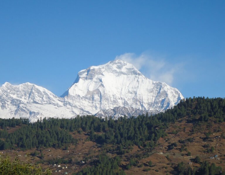
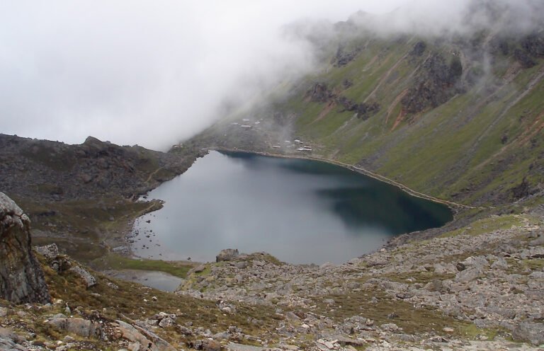
Rasuwa is a small district with an outsized role in Nepal trekking. The road up the Trishuli valley carries trekkers to Syabrubesi — the classic trailhead for the Langtang Valley trek — and to Dhunche, the administrative headquarters near the start of the Gosaikunda lakes trek. The same corridor continues north to the Rasuwagadhi–Kerung crossing, Nepal’s main open border point with Tibet, used by overland travellers and pilgrimage trade.
The flood’s damage footprint sits directly on this route. Rescue deployments stretch from Timure — the last sizeable settlement before the Chinese border — down the river through the project zone. Monsoon-season disruption on other approach roads has been a running theme this August as well: police reported seven road sections blocked across the country on August 25, including sections in Rasuwa, Nuwakot and Sindhupalchok, and the Tokha–Chhahare road near Kathmandu has been closed at night over landslide risk.
Trishuli rafting — normally a reliable monsoon and autumn activity on this river — is another direct casualty of the flood’s aftermath. The river carries the flood’s sediment and debris load downstream into the Narayani system, and no operator restart has been announced. Anyone holding a Trishuli rafting booking should confirm status directly with their operator before travelling.
It is equally important to keep the geography in proportion: Nepal’s other major trekking gateways — the Everest region via Lukla, and the Annapurna region via Pokhara and Besi Sahar — lie in different river systems entirely and were not touched by this flood.
What this means for the autumn Langtang trekking season
Status: unconfirmed as of September 1. No authority has announced a closure or reopening of the Langtang trek, and the condition of specific bridges and trail sections between Syabrubesi, Lama Hotel and Langtang Village has not been officially reported. What is confirmed is the damage to the access corridor and the government’s 21-day rehabilitation target for roads and bridges.
Practically, that leaves four scenarios for autumn travellers:
- Booked for September: Contact your trekking agency now and ask specifically about Syabrubesi road access and the trailhead situation. Keep flexibility in your itinerary; consider whether the Everest or Annapurna regions can substitute if Langtang access is delayed.
- Booked for October–November: The main autumn flow starts after late September, giving rehabilitation efforts the full 21-day window — and then some — before your trek. Monitor updates rather than changing plans yet.
- Planning a Tibet overland trip via Rasuwagadhi–Kerung: Treat the crossing as suspended until an official announcement; the border-area road sits inside the damaged corridor.
- Independent trekkers: Do not attempt the corridor now. Rescue resources are fully committed, and the Nepali Army has asked that the disaster zone not add casual traffic. Wait for official clearance.
Travel insurance holders should also review their policies: coverage for trip interruption due to natural disasters, and for helicopter evacuation, are the two clauses that matter most in a flood-affected trekking region. Our complete guide to trekking safety in Nepal covers insurance, altitude illness and evacuation in detail.
Safety advice for travellers in flood-affected districts
- Stay out of Rasuwa, riverside Nuwakot and Dhading side-valleys until authorities announce that rescue operations have concluded and roads are cleared. Helicopter and road capacity is reserved for rescue and relief.
- Treat all rivers in the Trishuli–Narayani system as hazardous. Post-flood rivers carry debris, shifted channels and unstable banks — swimming, rafting and riverside camping are unsafe until conditions are formally assessed.
- Assume landslide risk continues. The monsoon remains active into September, and saturated slopes after extreme rainfall are at their most dangerous in the days that follow — a pattern seen across Nepal this month, from the Prithvi Highway to the seven road sections blocked countrywide on August 25.
- Verify road status before any overland journey. Police and local administration announcements change daily during monsoon aftermath; check the day you travel, not the week before.
- Register your itinerary with your embassy or trekking agency, and carry the Nepal Police tourist helpline number when travelling in central Nepal.
Frequently asked questions
Is the Langtang trek closed after the Rasuwa flood?
No official closure of the Langtang trek has been announced as of September 1, 2026. However, the access road corridor to Syabrubesi and Dhunche was damaged by the August 26 flood, rescue operations are ongoing in Rasuwa district, and specific trail and bridge conditions have not been officially reported. Treat the region as inaccessible until your trekking agency or official sources confirm otherwise.
Is Nepal safe to visit after the Bhotekoshi flood?
The flood’s direct impact is concentrated in a specific river corridor: Rasuwa, Nuwakot and Dhading districts along the Bhotekoshi and Trishuli rivers, with downstream effects tracked into Chitwan and Nawalparasi East. Nepal’s other main tourism regions — the Everest region, Annapurna, Pokhara, Lumbini, Chitwan’s national park areas away from the river — were not affected by this event. Check advisories for your specific route rather than avoiding the country as a whole.
I have a Langtang trek booked for September — what should I do?
Contact your operator immediately and ask about Syabrubesi road access. If your dates fall in the first half of September, build in the option to switch to the Everest or Annapurna regions, which use separate access routes. The government’s 21-day rehabilitation task force targets roads and bridges in the affected corridor, which sets the realistic earliest window for normalised access.
How can families of missing foreign nationals get information?
The Nepal Police publishes photographs and details of recovered bodies at udb.nepalpolice.gov.np. DNA profiles can be sent to dnacodis@nepalpolice.gov.np, and the dedicated police helpline is +977 984-1616095. Embassies in Kathmandu — including the Indian Embassy, which issued the nine-step handover procedure — are coordinating the return of foreign victims’ remains.
Will the autumn trekking season be affected?
The autumn season’s main flow runs from late September through November. Only the Langtang and Gosaikunda access corridor is directly affected; Everest and Annapurna treks are operating normally outside this flood zone. For Langtang specifically, the 21-day rehabilitation timeline means early-October trekkers have a realistic chance of normal access if the schedule holds, but nothing is guaranteed yet.
Sources
- Online Khabar (English), “Rescue update: Search operations continue at hydropower projects as 23 bodies recovered,” September 1, 2026 — english.onlinekhabar.com
- Online Khabar (English), “894 people still missing from 11 hydropower projects after Bhotekoshi flood,” September 1, 2026 — english.onlinekhabar.com
- Online Khabar (English), “Nepal sets a 9-step process for returning foreign flood victims’ bodies,” September 1, 2026 — english.onlinekhabar.com
- Online Khabar (Nepali), “बाढीपीडितको प्रारम्भिक पुनर्स्थापना र व्यवस्थापन खाका बनाउन कार्यदल गठन,” September 1, 2026 — onlinekhabar.com
- Online Khabar (Nepali), “रसुवा बाढी : वीर अस्पतालबाट १२ जना डिस्चार्ज,” September 1, 2026 — onlinekhabar.com
- Nepal Police body identification portal — udb.nepalpolice.gov.np
- Background: Langtang National Park and Trishuli River, Wikipedia (accessed September 1, 2026).
This article reports confirmed figures as of September 1, 2026, and labels unconfirmed operational status (trail conditions, road reopening dates) as such. Figures may change as rescue operations continue; the IPPAN missing-persons count is based on project reports and could be revised.
Related guides
- Langtang Valley Trek 2026: Complete Guide
- Gosaikunda Lake Trek Guide
- Seven Road Sections Blocked Across Nepal (August 2026)
- Tokha–Chhahare Road Night Closure: Landslide Risk in Nuwakot
Published September 1, 2026. TravellingNepal.com is a Nepal tourism news portal covering trekking, routes, permits and travel-safety developments. This report will be updated as official information changes.
Share this content: