Annapurna Circuit Trek 2026: Thorong La, Duration & Route Changes
Complete guide: Annapurna Region Treks: Complete Guide
Is the Annapurna Circuit still worth it in 2026? Yes. Despite road building on the lower valleys, the Circuit remains one of the world’s great teahouse treks: a 12 to 18 day traverse of the Annapurna massif over Thorong La (5,416 m), from humid subtropical forest to Tibetan-influenced Manang and down the deepest gorge in the world. Here is what actually changed, and how to plan it in 2026.
What makes the Circuit different is the traverse: in roughly two weeks you walk uphill through rice paddies, over a 5,416 m pass, and down into a rainshadow desert that is culturally Tibetan. No other trek in Nepal packs that range into one route. It is a fundamentally different product from the Annapurna Base Camp trek, which climbs into a dead-end amphitheater in a third of the time.
2026 route reality: where the road ends, where you start
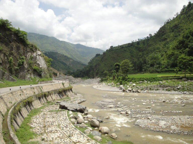
The classic description, walking from Besisahar at 760 m, is now optional. A paved road runs up the Marshyangdi valley through Besisahar to Jagat, with rough jeep tracks continuing to Dharapani and, in dry conditions, to Chame. jeeps, not trekkers, own the first two days of the old route. The practical 2026 decision is where to start walking:
- Besisahar (760 m): the full classic commitment, 18 to 21 days, including the low-valley road walk that inspired the phrase “the Circuit is dead.” Still right for trekkers who want the complete historic traverse.
- Jagat (1,300 m) or Dharapani (1,860 m): the most common 2026 compromise. A 5 to 7 hour jeep transfer from Besisahar skips the paved stage, and you start walking at genuinely interesting altitude with the gorge closing around you.
- Chame (2,710 m) or Pisang (3,200 m): for compressed itineraries, arriving by jeep in a long single day. Saves two more walking days but starts you at 2,700 m plus, which costs acclimatization margin you will want later.
| Style | Days | Starting point | Note |
|---|---|---|---|
| Full circuit on foot | 18 to 21 | Besisahar | Historic route, includes road stages |
| Classic upper circuit | 14 to 16 | Besisahar or Jagat | Jeep the paved gap, walk everything that matters |
| Upper circuit driving in | 12 to 14 | Drive to Chame | Skips lower valley entirely |
| With Tilicho Lake side trip | +2 to +3 days | any start | High alpine lake at 4,919 m |
The high route, Manang to Thorong Phedi to Thorong La to Muktinath, is unchanged by any of this and still demands proper acclimatization. Keep an eye on the starting-altitude implications: the higher your trailhead, the tighter your altitude budget for the days before Manang.
Getting there and back in 2026
Getting in: Kathmandu to Besisahar is 6 to 7 hours by tourist bus or shared jeep; Pokhara to Besisahar about 4 hours. From Besisahar, local jeeps run to Jagat and above when the road is clear. Note the Besisahar roadhead reality: vehicles arrive mid-morning, so most itineraries either sleep in Besisahar or jeep to Jagat the same afternoon.
Getting out: the return leg was transformed years ago by the Jomsom road. From Muktinath or Jomsom, jeeps run down the Kali Gandaki to Tatopani or all the way to Pokhara (7 to 8 hours), and most 2026 itineraries end in Jomsom with a flight or jeep to Pokhara rather than walking the lower gorge. Flights Jomsom-Pokhara operate daily in season but weather-cancel often; the jeep is the reliable fallback at USD 80-100 per seat.
Day by day: the classic upper circuit
- Day 1: jeep Besisahar to Jagat or Dharapani; begin walking the gorge stages if daylight allows.
- Days 2 to 3, Dharapani to Chame (2,710 m): gradual ascent through Gurung villages, waterfalls, and the first pine and rhododendron forest; Annapurna II rises at the valley head.
- Days 4 to 5, Chame to Upper Pisang or Ngawal (3,300-3,660 m): two choices here, and the high route via Ghyaru and Ngawal is worth every extra meter: fewer people, older villages, and the sweep of the Annapurna range from a 3,660 m shelf.
- Day 6, to Manang (3,540 m): out of the forest into the dry, trans-Himalayan zone; the air thins visibly and the culture shifts Tibetan.
- Day 7, acclimatization day in Manang: the single most valuable day of the trek. Options: Gangapurna Lake, the ridge above town, an Ice Lake day-hike (4,600 m, ambitious for a rest day), or the Himalayan Rescue Association altitude talk in the afternoon.
- Days 8 to 9, Manang to Yak Kharka (4,050 m) and Thorong Phedi (4,540 m): short walking days by design; altitude, not distance, sets the schedule now.
- Day 10, Thorong La (5,416 m) to Muktinath (3,760 m): start 3 to 4 AM from Phedi or High Camp (4,900 m), summit the pass in 4 to 6 hours, descend 1,600 m to Muktinath in 3 to 4 more. The longest, highest, coldest day of the trek; the full day can run 8 to 9 hours.
- Day 11, Muktinath to Kagbeni or Jomsom: the rainshadow desert begins; Kagbeni is the better overnight stop.
- Day 12, Jomsom and out: jeep or flight to Pokhara.
Add two days if you started at Besisahar, and note that most locals and guides treat the above as a minimum-comfort schedule rather than a challenge.
Thorong La: how the pass day actually works
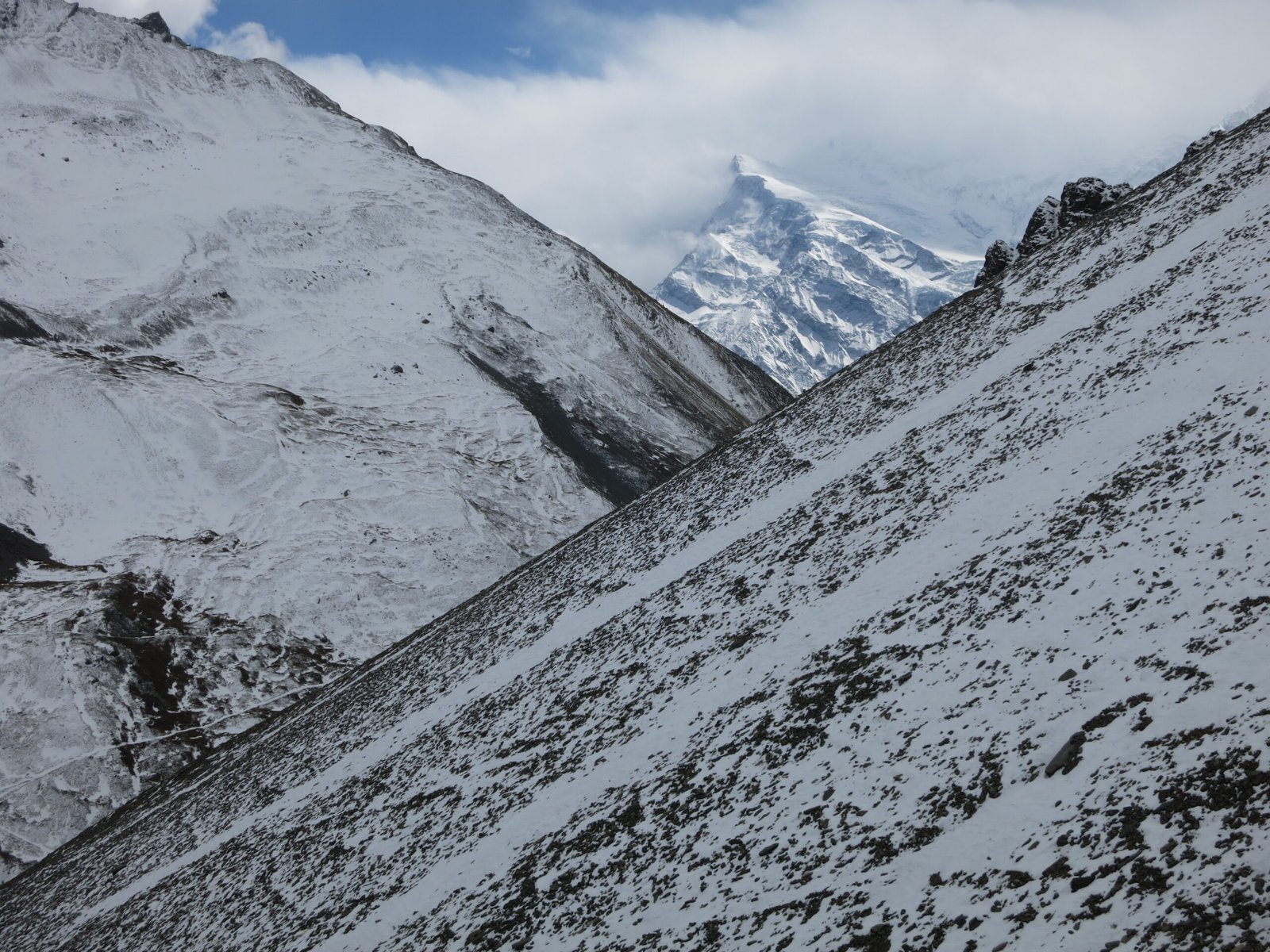
The crossing is non-technical but unforgiving of shortcuts. Start at 3 to 4 AM from Thorong Phedi or High Camp, because the pass is calm before mid-morning and the wind picks up and clouds build by 10:00. Above High Camp the trail is a steady stone-flagged climb to the pass, 4 to 6 hours, then a long 1,600 m descent to Muktinath. Weather windows matter: heavy snow closes the pass for days at a time in any season, and wind alone can shut it down. If you feel altitude symptoms at Phedi, the correct move is to wait a day, not to push. For symptoms, prevention and Diamox guidance, read our altitude sickness guide.
Side trips: Tilicho Lake, Poon Hill, Ice Lake
Tilicho Lake (4,919 m): the marquee detour. From Manang, branch west via Shreek Kharka to a lodge below the lake, climb to the shore, then either retrace or cross Tilicho Pass (5,330 m) and descend via Mesokanto La to Jomsom. Adds 2 to 3 days; the pass variant is for experienced trekkers only, with guide and conditions advice local.
Ice Lake (4,600 m): a day hike from Manang on acclimatization day. Steep, snow-fringed, and the best altitude-training climb available before the pass; go early for the still water.
Poon Hill (3,210 m): the classic add-on after the Circuit, not during it. After descending to Pokhara-side transport, add Ghorepani and the Poon Hill sunrise for 3 to 4 extra days; it pairs naturally with an ABC extension covered in our ABC trek guide.
2026 permits and costs
- ACAP (Annapurna Conservation Area Permit): NPR 3,000 (about USD 22) for foreign nationals, checked at Tal, Manang and Muktinath checkpoints.
- TIMS card: required; blue card for organized groups, green for independents. See the full Nepal trekking permits guide for current fees and rules.
Budget picture, per person: permits about USD 45; transport in (bus Kathmandu-Besisahar USD 10-20, jeep Besisahar-Jagat USD 10-15 per seat); lodging USD 5-10 per night eating in your lodge; food USD 25-40 per day, doubling in Manang versus the low valleys and again at Thorong Phedi; jeep or flight out of Jomsom USD 80-120; optional guide USD 25-35 and porter USD 15-25 per day. A solo, independent 14 day Circuit runs USD 500-700 all in; guided packages USD 900-1,400. The official entry-fee schedule sits with the Nepal Tourism Board’s park entry fees page.
Difficulty vs the ABC trek
Thorong La at 5,416 m makes the Circuit harder than ABC at 4,130 m, full stop. The Circuit is also longer (12-18 days vs 7-13), commits you to crossing a pass on a fixed date, and has a longer forced altitude ramp. ABC is a moderate trek; the Circuit is moderate-to-strenuous. Fitness and acclimatization, not technical skill, are the determinants on both. If you are new to altitude, do ABC first and come back for the Circuit; our trekking grades and difficulty guide ranks every major Nepal route.
Best season for the Circuit
October-November is the classic window: stable, dry, and busy, with teahouses full by evening in October. March-April is second best, slightly hazier at midday but warmer in the high desert. December offers solitude and risk: the pass is cold and can close for days. Avoid mid-winter for Thorong La unless experienced. Monsoon (June-September) is workable on the rainshadow side from Manang onward but wet and landslide-prone below. Month by month detail is in our best time to visit Nepal guide.
Packing for the Circuit
Pack for three climates in one bag: humid valley heat, high-desert sun, and sub-zero pass mornings. The essentials: layered clothing and a down jacket rated below freezing; trekking poles for the pass descent; sunglasses and high-SPF sunscreen, because the thin air above Manang burns fast; a four-season sleeping bag for the coldest lodges; water purification plus a wide-mouth bottle you can fill at every tap; a headlamp for the 3 AM pass start; blister and basic first-aid kit; and Diamox if you use it, started the day before the pass. The full checklist is in our Nepal trekking packing list.
Tea houses and connectivity
Lodges run from comfortable in the lower valleys to basic at Thorong Phedi, where rooms are dorm-style and the dining stove runs yak dung after dark. October fills Manang and Phedi completely; book ahead or walk with a guide who can. Wifi is voucher-based in most villages through Manang, then intermittent to Muktinath; Ncell coverage exists in many upper villages with a local SIM. Power banks matter: charging above 4,000 m is metered and sometimes generator-only. Etiquette and payment norms are covered in our teahouse trekking guide.
FAQ
How difficult is Thorong La?
Strenuous by altitude and length, non-technical by terrain. The pass day is 4 to 6 hours up through 5,416 m, then a 1,600 m descent. Fitness and acclimatization are the main determinants of success; the trail itself is stone-flagged and obvious in clear conditions.
Can I do the Circuit in 10 days?
Only by driving most of the lower road and taking a jeep for the return, which compresses the acclimatization ramp and is not recommended for altitude safety. 12+ days is healthier; 14 with a Manang rest day is the sweet spot.
Is the road ruining the Annapurna Circuit?
Motor roads now reach Manang and Muktinath, so some stages share the valley with jeeps. Most trekkers simply start at Jagat or Dharapani and end at Jomsom, and use the NATT (New Annapurna Trekking Trails) side paths to avoid road walking where it exists. The high route through Ngawal, Manang and the pass is unchanged and pristine.
Do I need a guide?
Not legally required, but recommended for the pass crossing and helpful for lodge logistics in peak season. The trail is well marked; independent trekkers with altitude experience manage it regularly.
Can I combine the Circuit with ABC or Tilicho?
Yes. Tilicho Lake adds 2-3 days mid-route. A post-trek ABC extension via Ghorepani and Poon Hill adds 4-5 days after Jomsom/Pokhara. Doing all three makes a 3-week grand Annapurna traverse; plan one buffer day per week for weather.
Related guides
Share this content: