Everest View Trail Race Wins ITRA International Recognition
Complete guide: Everest Base Camp Trek: The Complete Guide
Direct answer: Solukhumbu’s Everest View Trail Race has gone international. The race, organized by Mapya Dudhkoshi Rural Municipality in Nepal’s Everest district, has received official recognition from a world-famous France-based ultra-trail organization, and the International Trail Running Association (ITRA) has awarded the course a three-point rating that finishers can count toward selection and entry at other prestigious international trail races, Online Khabar reported on September 9, 2026.
For a rural municipality better known to trekkers as the green gateway below the famous Everest trailhead towns, the endorsement is more than a sporting badge. It plugs a 48 km Himalayan course into the global trail-running circuit and hands the lower Solu region a fresh, low-impact reason for runners, hikers and race supporters to visit at a moment when Nepal’s tourism industry is working hard to rebuild momentum.

Table of contents
- What is the Everest View Trail Race?
- The course: 48 km through Dudh Koshi country
- What ITRA recognition actually means for runners
- Why this matters for Solukhumbu tourism
- How to reach the Everest View Trail Race region
- Trail running and the wider Everest economy
- Key takeaways
- Frequently asked questions
- Sources
What is the Everest View Trail Race?
The Everest View Trail Race is an adventure running event staged by Mapya Dudhkoshi Rural Municipality in Solukhumbu, the district in Koshi Province that contains Mount Everest and the whole of the Khumbu. While most Everest-related tourism concentrates far above, in the national park around Namche Bazaar and the base camp trail, this race runs in the lower, greener Solu country that generations of trekkers walked through on the classic overland approach to the Everest region.
The municipality has organized the race with three stated aims, according to Online Khabar’s report: tourism promotion, nature conservation, and sports development. The new international endorsement is the strongest signal yet that the formula is being taken seriously beyond Nepal. The recognition announced on September 9, 2026 comes from two directions: official accreditation by a France-based ultra-trail organization described by the report as world-famous, and a three-point rating from the International Trail Running Association, the body that scores trail race difficulty worldwide.
The headline numbers from the source report, all as of September 9, 2026:
| Race fact | Detail (as reported September 9, 2026) |
|---|---|
| Organizer | Mapya Dudhkoshi Rural Municipality, Solukhumbu |
| Course distance | About 48 km |
| Highest point | 3,181 m |
| Lowest point | 1,803 m |
| Time limit | 7 hours 45 minutes |
| International rating | 3 points from the International Trail Running Association (ITRA) |
| Official recognition | A world-famous France-based ultra-trail organization (per Online Khabar) |
The course: 48 km through Dudh Koshi country
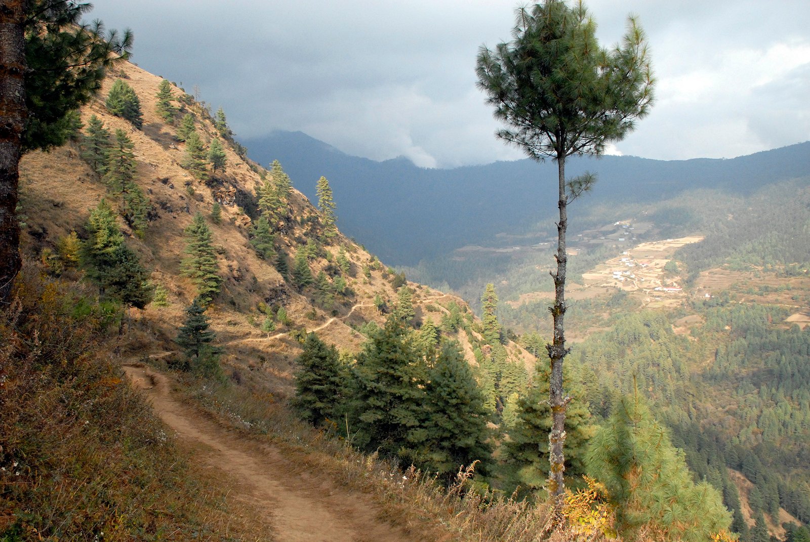
The race route, as described in the source report, starts and finishes at the Korkhu stadium, currently under construction, and climbs through a loop of the surrounding ridges. Runners pass Mahbir, Silgudi, the Kudham high camp and the Kailashnath Mahadev temple before descending back to the stadium. The full loop spans roughly 1,378 m of elevation between its lowest and highest points, which is serious climbing by any standard, but it stays below the altitudes where acclimatization becomes a medical necessity, a practical advantage for runners arriving from lower elevations.
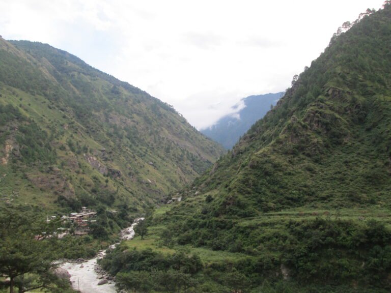
The valleys the race runs through belong to the Dudh Koshi drainage, the river system that pours off the Everest massif. Wikipedia’s Dudh Koshi entry describes it as the highest river on Earth by elevation, rising from glacier lakes at about 5,100 m and meeting the Sapta Koshi at just 1,245 m. By the time the river country reaches the lower Solu, it has mellowed into terraced slopes, ridgeline forests and Sherpa villages linked by footpaths older than any road.
The mountain views runners earn
The race’s name is not marketing. According to the Online Khabar report, runners on the course can take in views of Everest, Kanchenjunga, Numbur, Thamserku and Mera Peak in a single panorama, along with adventure landmarks such as the Blas waterfall and the Mahbir ridge. Numbur, the peak that anchors the Solu skyline, sits close enough to the course to feel like part of the event itself.
That lineup of five named Himalayan giants is unusual for a course that tops out at 3,181 m. Races with this kind of panorama usually demand trekking-peak altitudes or days of approach walking. Here, the view comes from ridgelines a morning’s drive from the district roadhead, which is precisely why the organizers see the event as a showcase for the region’s natural and cultural heritage.
What ITRA recognition actually means for runners
The International Trail Running Association, usually abbreviated ITRA, was formed in 2013 following the first International Trail Running Conference held in 2012, according to Wikipedia’s entry on the association. Trail running was recognized as a formal athletics discipline by the IAAF, now World Athletics, in 2015. One of ITRA’s core functions is a points system that ranks the difficulty of trail race routes by distance and elevation, and tracks runner performances across races.
That is the machinery behind the three points now attached to the Everest View Trail Race. In practice, per the Online Khabar report, the points earned by finishing the race will help runners gain selection into other prestigious international trail races. For Nepali runners, that means a world-recognized qualifier can now be banked at home, in the Everest district, rather than in Europe or North America. For visiting runners, it means a Himalayan race with a genuine global ranking, not a one-off adventure event.
It also puts the race in a select club. Nepal has a growing calendar of mountain races, but internationally rated courses with ITRA points remain a small minority. A rural municipality owning one of them is a notable shift: it suggests trail running is being treated as tourism infrastructure, the same way teahouse networks and suspension bridges once built the trekking economy.
Why this matters for Solukhumbu tourism
Municipality chairperson Buddhikiran Rai told Online Khabar that the campaign to connect sports with tourism, nature, culture and adventure travel had gained real significance through the recognition, and that the opportunity to introduce Mapya Dudhkoshi’s natural and cultural heritage to the world had grown accordingly. Translated from the political register, that is a promise that the race will be run as a destination showcase, not just a competition.
The timing is significant. Nepal’s tourism sector spent the first days of September 2026 responding to the catastrophic Bhotekoshi river flood of late August, which severed road and trail links in the Rasuwa corridor and cost hundreds of lives. Nepal Times reported on September 7 that the industry’s message to travelers is “Your Visit Matters,” with tourism revenue framed as the most direct way visitors can help the country rebuild. A new internationally rated race in the Everest district, announced the same week, is exactly the kind of confidence signal that message needs.
There is also a strategic logic to locating the event in lower Solu rather than Khumbu. The upper Everest trail is busy in the autumn peak, lodge beds are scarce in October and November, and every flight slot into the high airstrips is contested. The lower Solu valleys offer the same Sherpa culture and Himalayan scenery with a fraction of the traffic, and a race event concentrates visitor spending into a short window without demanding new permanent construction. The course even loops through trail networks that the classic walking approach to Everest has used for decades.
For travelers who want a guided version of the Everest region experience, the established route options remain well documented, including the full Everest Base Camp trek itinerary and its variations, and race week could pair naturally with a few days of warm-up hiking on the same trails the runners use.
How to reach the Everest View Trail Race region
Salleri, the Solukhumbu district headquarters, is reachable by road from Kathmandu in a long day’s drive, and the smaller settlement of Phaplu, a short distance beyond Salleri, has long been the road-and-air gateway to lower Solu. Phaplu’s small airstrip still offers a quieter alternative to the famous short runway at Lukla, though scheduled service is limited and most travelers now arrive overland by bus or jeep.
Travelers weighing how to enter the Everest region this autumn have more than one option, and the choice matters in a season when flood damage has altered some road corridors. Our recent guides compare the two classic flight gateways in detail: Lukla flights from Kathmandu versus Manthali in 2026 explains the Ramechhap departure pattern, and our BP Highway closure report shows how the drive east from the capital can be affected by monsoon-season blockages. Always confirm road and flight status close to your travel date.
The main ways into Everest country at a glance:
| Option | Typical route | Trade-offs |
|---|---|---|
| Fly to Lukla | Kathmandu (or Ramechhap) to the Khumbu airstrip | Fastest to the high trails; weather delays are common |
| Drive and fly via Manthali | Bus or jeep to Ramechhap, then fly from Manthali to Lukla | Widely used when Lukla flights shift to Ramechhap; adds road time |
| Overland to Salleri and Phaplu | Drive from Kathmandu into lower Solu, then walk or run local trails | Cheapest and most flexible; long drive; best for the race region |
Trail running and the wider Everest economy
The race’s new status lands in a season when Everest-region institutions are visibly professionalizing. In late August, the Everest Climbers Association elected a new leadership team, as we reported at the time, and mountaineering bodies, rural municipalities and tourism operators are increasingly working the same calendar. Race weeks bring runners, support crews, officials and spectators who need beds, food and transport, an off-peak revenue stream for a region whose economy otherwise rides the two big trekking seasons.
There is a conservation dividend too, at least by design. A race course that showcases Numbur, the Blas waterfall and ridge-top temples gives those places a constituency. The municipality’s own framing, conservation alongside promotion, echoes a pattern familiar from Nepal’s national parks, where regulated visitor traffic funds trail maintenance and community projects. Whether that balance holds will depend on how the event grows; for now, a 48 km loop is light-footed by the standards of Himalayan tourism infrastructure.
Key takeaways
- The endorsement is confirmed: per Online Khabar on September 9, 2026, a France-based world-famous ultra-trail organization gave the race official recognition, and ITRA awarded it 3 points.
- The course is about 48 km with 1,803 m to 3,181 m of elevation and a 7 hour 45 minute cutoff.
- ITRA points are a passport: finishing helps runners qualify for selection at other prestigious international trail races.
- The location is lower Solukhumbu, the green gateway region below the busy Khumbu trail, reached overland via Salleri or Phaplu.
- The date of the next edition was not stated in the September 9 report; watch the municipality’s announcements before planning a trip around the race.
- Context: the recognition arrives as the tourism sector promotes the message that visiting Nepal helps the country recover from the late-August flood.
Frequently asked questions
What is the Everest View Trail Race?
It is an adventure trail race of about 48 km organized by Mapya Dudhkoshi Rural Municipality in Solukhumbu district, run to promote tourism, nature conservation and sports development together. As of September 9, 2026 it carries official recognition from a France-based ultra-trail organization and a three-point rating from the International Trail Running Association.
How far is the race and how high does it go?
The course is about 48 km long. Its lowest point is 1,803 m and its highest point is 3,181 m, with a maximum finishing time of 7 hours 45 minutes, according to the source report.
What are ITRA points and why do they matter?
ITRA, the International Trail Running Association founded in 2013, rates trail race difficulty using a points system based on distance and elevation. Points earned at a rated race help runners gain selection into other prestigious international trail races, which is why a three-point rating turns a local event into a globally useful credential.
Where exactly is the race held and how do I get there?
The race loops out of Korkhu stadium in Mapya Dudhkoshi Rural Municipality, lower Solukhumbu, passing Mahbir, Silgudi, the Kudham high camp and the Kailashnath Mahadev temple. The practical gateway is Salleri or Phaplu, both reachable by road from Kathmandu in a long day; Phaplu also has a small airstrip with limited scheduled service.
Can the race be watched or combined with trekking?
The September 9 report does not detail spectator arrangements, but the course follows walking trails through villages and ridgelines, so viewing points will realistically be along the route. The region’s paths are the same network used on the classic lower Solu approach to Everest, so combining race week with a few days of hiking is straightforward in principle.
When is the next edition?
Not yet announced. The September 9, 2026 Online Khabar report confirms the recognition and the course details but does not give a date for the coming edition. Travelers should follow announcements from Mapya Dudhkoshi Rural Municipality before building an itinerary around the race.
Sources
Every factual claim in this article is traceable to the sources below, checked on September 9, 2026. Claims about the recognition, the rating, the course measurements and the chairperson’s remarks are confirmed against the primary report; background on ITRA and the Dudh Koshi river comes from Wikipedia and is marked as context.
- Online Khabar, September 9, 2026 (Nepali language): Solukhumbu’s Everest View Trail Race receives international recognition. Primary source for the recognition, ITRA points, course data, route, viewpoints and Buddhikiran Rai’s statements.
- Wikipedia (context): International Trail Running Association. Background on ITRA’s 2013 formation and points system.
- Wikipedia (context): Dudh Koshi. River background for the region’s geography.
- Nepal Times, September 7, 2026: Nepal tells tourists: Your Visit Matters. Context on the tourism sector’s post-flood recovery message.
Published September 9, 2026. Race recognition and course details are as reported by the sources above as of that date; the next edition’s race date had not been announced at the time of writing.
Share this content: