
Nagathali, Rasuwa: Nepal’s Next Hidden Trekking Gem
Nagathali (also spelled Nagthali) is a ridge-top settlement at 3,165 metres in Rasuwa district, and it is emerging as one of Nepal’s most promising hidden trekking destinations. Road and trail access to the area, cut off for about two and a half months after the Bhotekoshi flood of late August 2026, reopened in November after local residents rebuilt a suspension bridge through voluntary labour. With monasteries, a Naga shrine, yak pastures and long-range Himalayan views, the village is now drawing a growing number of domestic and foreign visitors, according to a report by Online Khabar (November 11, 2026).
Key takeaways
- Nagathali sits at 3,165 m in Gosainkunda Rural Municipality-1, Thuman, in Rasuwa district.
- Access reopened in November 2026 after the Bhotekoshi flood of August 26 washed out the local road network.
- Lodges and guesthouses have grown from about one to six as visitor numbers have risen.
- Two approaches exist: from the Pasang Lhamu Highway side, and via the Tamang Heritage Trail.
- The area carries natural, religious and historical value, wrapped into the wider Langtang region.
Table of contents

Where is Nagathali, and why is it in the news?
Nagathali lies at an elevation of 3,165 metres above sea level in Gosainkunda Rural Municipality-1, at the settlement of Thuman, in Rasuwa district. It is a meeting point of natural beauty, religious faith and biodiversity, and the district authority describes it as a promising destination for walking and mountain viewing.
The name comes from local belief. Residents say the site is called Nagathali because a sacred place of the Naga (serpent deity) lies next to its main monastery. Tradition holds that Guru Rinpoche, the eighth-century master who shaped Himalayan Buddhism, meditated in the area and built the monastery. Inside, visitors can see statues of the Buddha, Cheresi and Gutasingtong.
Beyond the monastery, the ridge carries a footprint associated with Guru Rinpoche, a tunnel believed to separate virtue from sin, a dancing ground known as Khandromo Khamsa, and an ancient stone cave. A small spring that residents say Guru Rinpoche drew out with a mantra is treated as holy water and never runs dry.
Nagathali follows the lunar calendar for its main gatherings. Every year, on the full-moon days of Baishakh (around April and May) and Asoj (around September and October), a religious fair with special worship is held there. A second monastery and several other religious and historical sites sit near the north-western corner of the main gompa.
What puts Nagathali in the news this November is simpler: after months of isolation, trekkers can finally walk in again.
How do you reach Nagathali?
There is no airport and no bus that drops you at the ridge. Nagathali is a walking destination, and there are two recognised approaches. Both begin from the road head at Syaphrubesi, the last sizeable settlement on the Kathmandu to Rasuwa Gadhi road.
The most direct route follows the Pasang Lhamu Highway. From Rongba, on the highway’s Syaphrubesi to Timure section, trekkers walk up through Mendo and the village of Thuman, then tackle a steep climb of roughly four hours to reach Nagathali. This is the shorter line and the one most weekend walkers use.
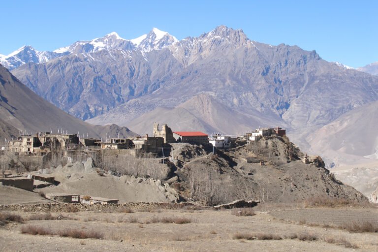
The second route is the more scenic one and forms part of the Tamang Heritage Trail. Walkers start at Syaphrubesi and pass through Goljung, Gatlang and Chilime (Tatopani) before climbing to Nagathali. It takes longer, but it threads together some of the finest Tamang villages in northern Nepal.
| Approach | Route | From Thuman |
|---|---|---|
| Highway side | Rongba – Mendo – Thuman – Nagathali | About 4 hours steep climb |
| Tamang Heritage Trail | Syaphrubesi – Goljung – Gatlang – Chilime (Tatopani) – Nagathali | Several trekking days |
Syaphrubesi itself is the road head of the Pasang Lhamu Highway (National Highway 18), which runs from Balaju in Kathmandu through Nuwakot and the district headquarters of Dhunche. A shorter alternative along the Trishuli valley, the Trishuli Corridor (NH42), also serves the area. Once you are in Syaphrubesi, everything above is on foot.
What can you see and do at Nagathali?
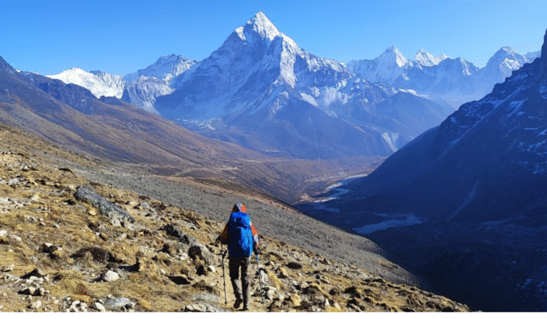
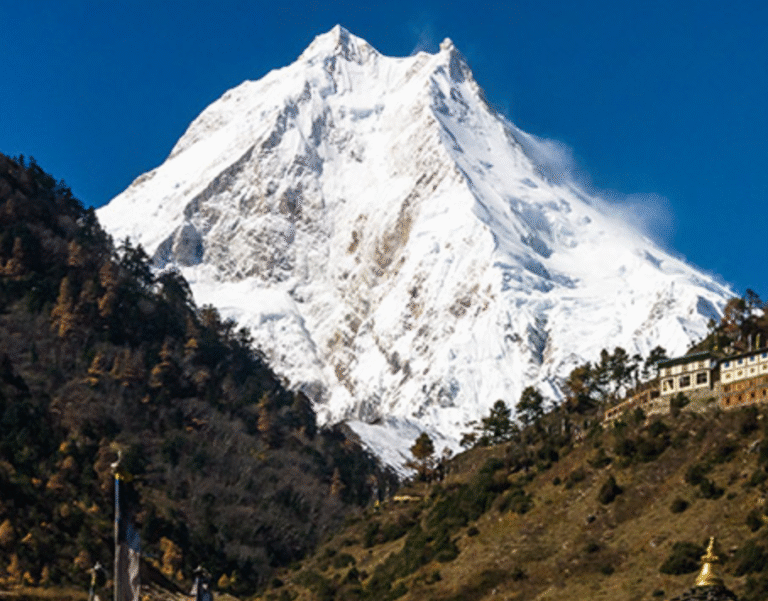
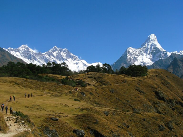
Nagathali’s main draw is its sweep of high mountains and glaciers, which fill the horizon on a clear morning. The walking itself is a procession of small rewards. Streams run beside the trail, rhododendron forests (locally called laligurans) flank the path, and rows of mane walls and chhorten mark the ridge. Open pastures are grazed by yaks, chauri cattle and flocks of sheep.
From Nagathali, most trekkers add at least one short side trip:
- Taruche, roughly a two-hour walk away, opens up clear views across the border into the Tibetan side, including the areas around Thongsa, Nesyargau and Chyanggau.
- The Ganesh Himal base, about a day’s walking from Nagathali and a serious undertaking for fit trekkers.
- Mala Gadi, a historic hill fort that is another attraction for visitors.
The forests around the ridge are home to snow leopards, goral, Himalayan tahr, bears, wild boar and langur monkeys. Wildlife sightings are never guaranteed, but the habitat is rich and largely undisturbed.
The Bhotekoshi flood and the road to reopening
Nagathali’s isolation for much of this autumn was not a seasonal matter. On Bhadra 10 (August 26, 2026), the Bhotekoshi river burst its banks in a flash flood that tore through settlements and washed out sections of the local road network. For roughly two and a half months, movement into the Nagathali area was completely cut off.
The recovery did not wait for machines. Residents rebuilt access themselves, pooling voluntary labour, or shramdan, to build a kathē pul, the traditional suspension footbridge used across Himalayan rivers. That bridge restored the walking connection, and the trail is open again as of November 2026. The episode is a reminder of how quickly a river can reset access in Nepal’s mountain districts, and of how much of that access is repaired by the communities themselves. The earlier damage accounting is set out in our report on the Bhotekoshi flood damage assessment.
Lodging, permits and practical tips
Tourism at Nagathali is still at an early stage, and that is part of its appeal. As visitor numbers have grown, the number of hotels and lodges on the ridge has risen from roughly one to six. The local ward office says it is working to improve infrastructure and hospitality services so the destination can grow without losing its character.
Because Nagathali sits beside the Langtang National Park area, trekkers should expect the usual formalities. You will need a national park entry permit and a TIMS card for the Langtang region. Our guide to Nepal trekking permits, TIMS cards and tourist visas explains how to obtain both, and how much they cost.
At 3,165 metres, altitude is a real consideration even for a short trip. Ascend gradually, sleep low if you can, and watch for the early signs of acute mountain sickness. Our Nepal trekking safety and health guide covers symptoms, prevention and evacuation criteria in detail.
| Season | What to expect |
|---|---|
| Spring (March to May) | Rhododendrons in bloom, Baishakh full-moon fair, clear but changeable skies. |
| Monsoon (June to early September) | Heavy rain, landslide risk, poor views. Avoid. |
| Autumn (late September to November) | Stable skies, crisp mountain views, Asoj full-moon fair. Peak window. |
| Winter (December to February) | Cold, snow possible on the ridge, fewer services open. |
Pack for cold mornings and warm afternoons, carry cash because card acceptance is limited, and do not expect the polished infrastructure of the Everest or Annapurna corridors. Nagathali rewards travellers who come prepared and unhurried.
Nagathali compared with Gosaikunda and Langtang
Nagathali is often confused with its better-known neighbours, and it helps to place it in context. It sits in the same broad Rasuwa and Langtang region as the sacred Gosaikunda lake and the Langtang valley, but it offers a very different experience.
| Destination | Elevation | Character |
|---|---|---|
| Nagathali | 3,165 m | Quiet emerging ridge, monasteries, Tamang villages, few lodges. |
| Gosaikunda | 4,380 m | Sacred Ramsar lake, major pilgrimage, busier trail. |
| Langtang Valley | Valley floor to 4,984 m | Established teahouse trek, glaciers, Kyanjin Gompa. |
Gosaikunda is a lake at 4,380 metres inside Langtang National Park, a Ramsar site whose waters melt to form the Trishuli river. The Langtang valley is Nepal’s older, better-served teahouse trek. Nagathali is the newcomer: lower, simpler and far less trodden. Trekkers can pair it with either of its neighbours. Our Gosaikunda lake trek guide and 8-day Langtang itinerary show how the routes link up.
For travellers who want the wider circuit guided, with porters, permits and lodging arranged, Enticing Himalayas runs a Langtang and Gosaikunda lake trek that covers this region.
Nagathali also joins a growing list of quiet Nepali destinations that are being quietly formalised for visitors. The Chinakot Durbar viewpoint trail in Myagdi opened earlier this autumn in much the same spirit, another ridge where an old place is being rediscovered by trekkers.
Frequently asked questions
What is Nagathali and where is it?
Nagathali (also spelled Nagthali) is a ridge-top village and trekking destination at 3,165 metres in Gosainkunda Rural Municipality-1, Thuman, in Rasuwa district, northern Nepal. It is known for monasteries, a Naga shrine and Himalayan views.
How high is Nagathali?
Nagathali sits at about 3,165 metres above sea level, high enough that altitude awareness matters but well below the glacier-line altitudes of Gosaikunda (4,380 m) or the Langtang valley.
How do I get to Nagathali?
Drive or take a bus to Syaphrubesi, the road head of the Pasang Lhamu Highway. From there, either walk via Rongba, Mendo and Thuman, with a steep four-hour climb at the end, or follow the Tamang Heritage Trail through Goljung, Gatlang and Chilime (Tatopani).
Is Nagathali open for trekkers now?
Yes. Access reopened in November 2026 after the Bhotekoshi flood of August 26 cut off the area for roughly two and a half months. Local residents rebuilt a suspension bridge to restore the walking route.
What is the best time to visit Nagathali?
Spring (March to May) and autumn (late September to November) offer the clearest skies. The Baishakh and Asoj full-moon fairs are the highlight for cultural visitors. Monsoon months bring landslide risk and poor views.
Do I need permits for Nagathali?
Yes. As the area sits within the Langtang National Park region, trekkers need a national park entry permit and a TIMS card. Details are in our Nepal trekking permits and TIMS guide.
Sources
- Online Khabar, “Nagathali in Rasuwa: an attractive destination of nature, culture and mountainous scenery,” November 11, 2026 (Nepali language). onlinekhabar.com
- Wikipedia, “Gosaikunda.” en.wikipedia.org
- Wikipedia, “Langtang National Park.” en.wikipedia.org
- Wikipedia, “Pasang Lhamu Highway.” en.wikipedia.org
- Wikipedia, “Rasuwa District.” en.wikipedia.org
Published November 11, 2026. Facts verified against the listed sources on the date of publication.
Share this content: